
Warm, dry stretch to last through Thursday in Twin Cities
Conditions will be dry and warm through Thursday in the Twin Cities.
Watch CBS News

Conditions will be dry and warm through Thursday in the Twin Cities.

Cooler, quieter fall weather returns Tuesday in the Twin Cities with highs in the 60s.

Following summer-like warmth over the weekend and Monday, cooler weather will return to Minnesota for the rest of the workweek.

Wednesday will be mostly sunny in the Twin Cities before clouds build in the evening hours, and another storm system approaches.

Saturday will be dry, warm and humid in the Twin Cities, with high temperatures in the upper 80s.

A better chance for storms arrives Thursday night across central and northern Minnesota. A few could be severe with a slight risk for wind and hail.

A round of showers and storms will move through much of Minnesota early Saturday.

A few showers and storms Tuesday morning will mainly affect central and western Minnesota, with activity weakening as it moves east.
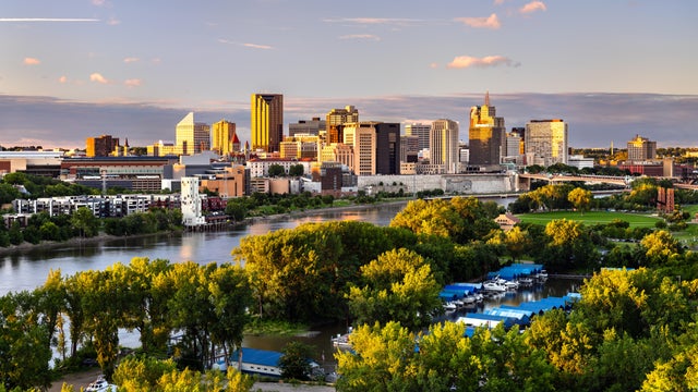
Wednesday will be a quiet, comfortable day in the Twin Cities, with dry weather and seasonable temperatures.

Scattered thunderstorms develop again mid-afternoon Tuesday through the mid-evening hours south of the Twin Cities.

Round one of scattered showers will roll through the Twin Cities Monday night with the passage of a cold front.
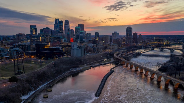
Showers and storms are moving through Minnesota Thursday morning, with a cloudy day set to follow.
Expect another warm day in the Twin Cities on Wednesday, with highs in the upper 80s and a mix of sun and clouds.

Tuesday will be hot and humid in the Twin Cities, with rain possible in parts of Minnesota overnight.
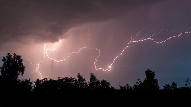
A round of rain will pass south of the Twin Cities overnight Tuesday, with a few severe thunderstorms possible. It will likely stay dry in the metro.