When will Monday's storm impact drivers in the Twin Cities?

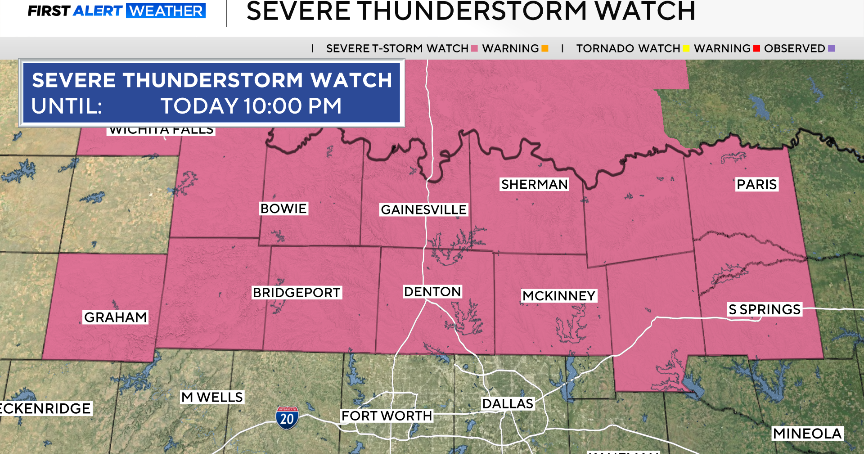
Forecast severe storms across the Twin Cities throughout Monday afternoon and evening may create hazardous conditions for drivers.
Threats include large hail, destructive wind gusts and tornadoes.
Meteorologist Joseph Dames says large storm cells could begin forming around 4 p.m.
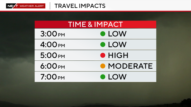
The severe weather has a high risk of impacting travel in the Twin Cities around 5 p.m., and a moderate risk at 6 p.m.
Some best practices for driving in the rain include leaving extra space between cars since it takes some extra time to stop on wet roads, not using cruise control and avoiding hydroplaning by letting off the gas when going through puddles.
If there are strong, straight-line or tornadic winds, don't park a car under an overpass. The National Weather Service says flying debris can be blasted into spaces between the bridge and grade and hit a parked car, or the bridge itself may fail.
Any motorist who comes across high water should turn around. The Centers for Disease Control and Prevention says over half of all flood-related drownings happen when a car is driven into hazardous flood water.
Find more information from the WCCO NEXT Weather Team on severe weather alerts and severe thunderstorms, as well as the dangers of flooding and extreme heat.