Lingering April storm brings snow to the north, rain to Twin Cities on Wednesday
As an early April storm system works its way out of Minnesota on Wednesday, areas to the north will see more snow, while the Twin Cities are in for some rain.
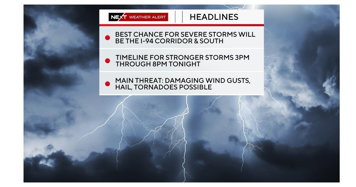
The lingering winter weather has prompted a second straight NEXT Weather Alert and caused several Minnesota schools to close or delay their starts on Wednesday.
Central and northern Minnesota will see more snow on Wednesday — potentially even another 4 to 8 inches. That will mainly fall in the afternoon and evening hours. Northern Minnesota is expected to see higher snow totals.
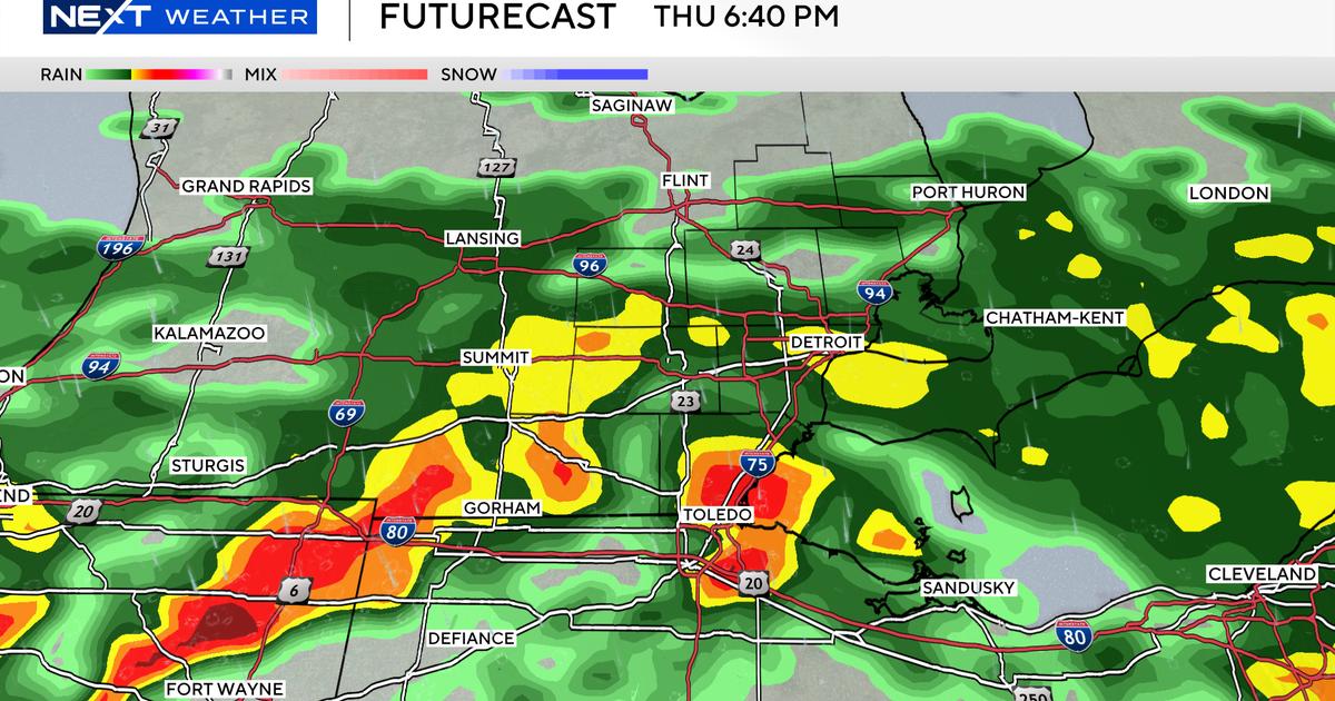
The spring side of the storm is expected to bring rain and thunder to the metro area with about a quarter of an inch of rain expected into the evening hours.
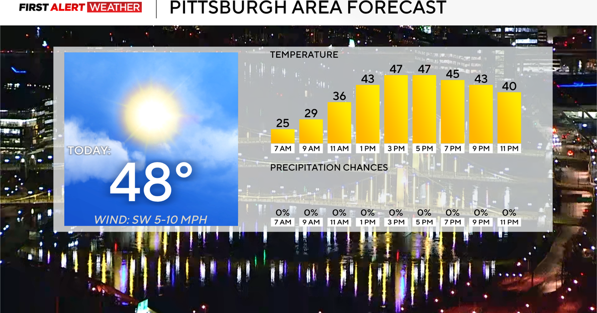
Breezy wind conditions are also expected. Highs will top out in the 40s for much of the state.
Minnesota road conditions
Wintry weather has made the morning commute wet and slushy for some.
As of 3 p.m., transportation officials are reporting dozens of crashes statewide, including on I-94 to the northwest of the Twin Cities area, Highway 169 to the north and Interstate 35 to the northeast.
Roads are completely covered in parts of western and central Minnesota as of 6 p.m. Further north, roads are partially covered.
The Twin Cities and southern Minnesota have normal driving conditions.
Looking forward
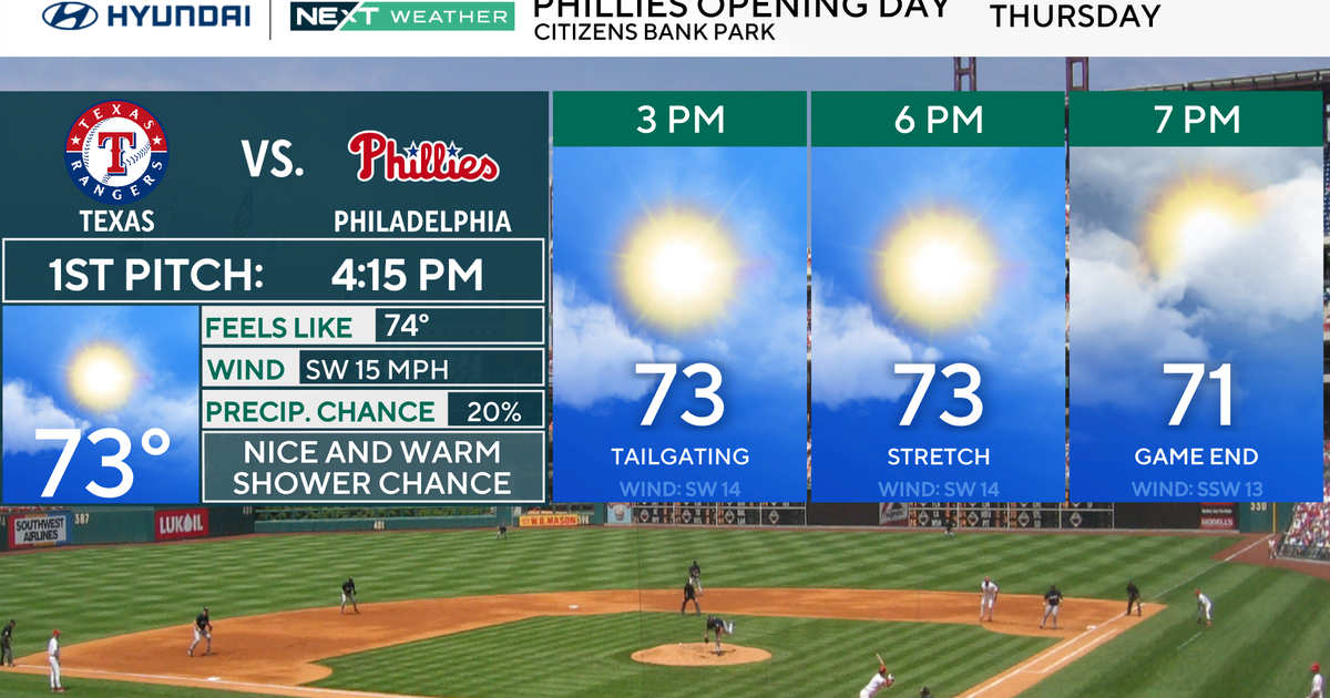
We dry out on Thursday in time for the Twins' home opener. The day will start cloudy and cool, with some sunshine emerging later on as highs climb into the mid-40s.
Things will stay dry over the weekend as highs climb close to 50. Expect a mix of sun and clouds.
There are some signs of warmer temperatures next week.


