NEXT Weather Alert issued for severe storms expected Sunday afternoon into evening

Sunday morning begins with a chance of rain, before potentially severe weather moves in for the afternoon and evening hours, triggering a NEXT Weather Alert for Sunday.
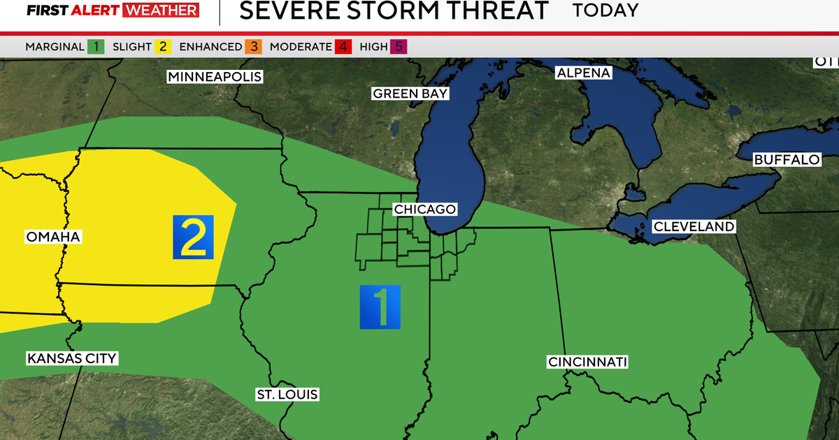
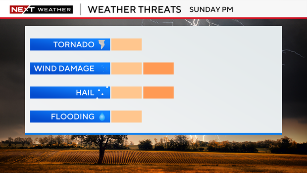
The greatest chance for severe storms is across southwest Minnesota (level 3 of 5) with wind, hail and tornadoes possible. Severe weather threat is 2 out of 5 for the metro area and the bulk of the state.
Even non-storm winds will be strong with gusts up to 35 mph.
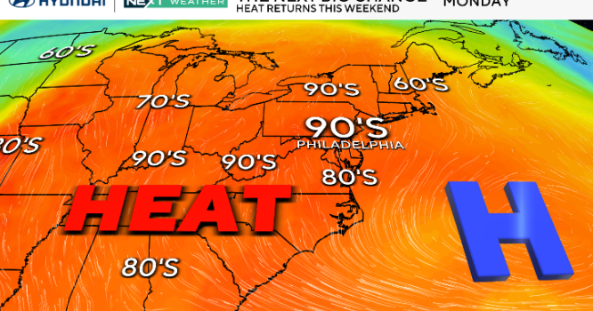
The added clouds knock highs back into the 70s.
There is a potential NEXT Weather Alert for Monday as Scattered showers and storms continue.
Monday's round of severe storms is a 2 out of 5 threat for southeastern Minnesota, but things could change depending on how Sunday's storms turn out.
Things look to dry up by Tuesday afternoon after 1-2 inches of rain.
It'll be on the cool side through mid-week with highs in the 60s, but it'll reach the 70s again Thursday and Friday.