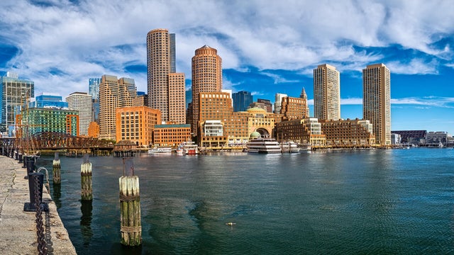
Summer Saves The Best For Last
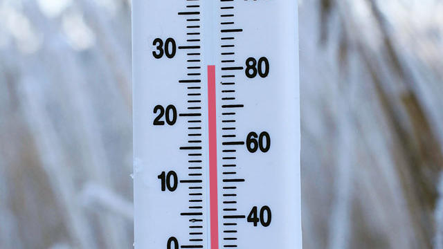
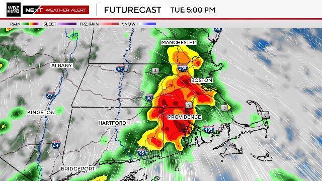
Periodic light showers will be shifting to SE MA and the Cape for the Afternoon where it will remain a bit damp. It is a dry day in Boston points, N & W. Clearing skies with drier air will try to push to the coast but it will not be easy. Sunshine in western New England should arrive near Worcester by 2 or 3 PM. It will take the entire day for the clearing line t reach the coast unfortunately. Winds are lighter today out of the NNE. With clouds and cool wind off the water...60's and Lwr 70's at the beaches, Lwr-mid 70's inland where we will see some increasing afternoon sunshine.