
Highs around 70, sunshine make for #Top10WxDay Sunday
Sunday is a #Top10WxDay with minimal wind and temperatures in the upper 60s to low 70s for the southern and central part of Minnesota.
Watch CBS News

Sunday is a #Top10WxDay with minimal wind and temperatures in the upper 60s to low 70s for the southern and central part of Minnesota.
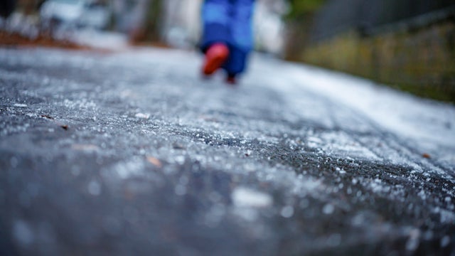
Saturday will start cool but will warm up throughout the day with the high temperatures hitting in the low to mid 50s.
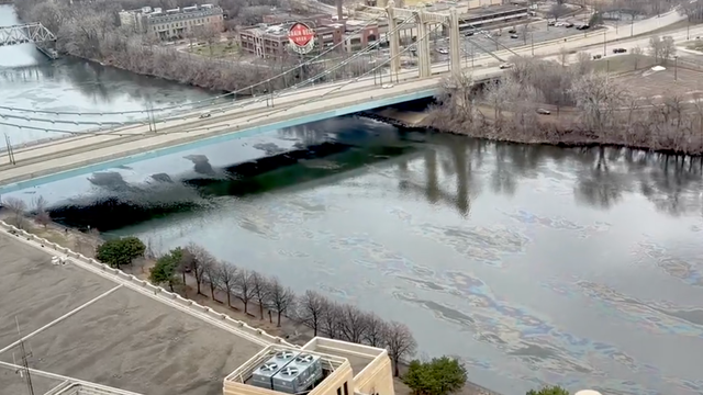
The Minnesota Pollution Control Agency and the Minnesota Department of Health say they are investigating "sheens" that are appearing along the Mississippi River in downtown Minneapolis.
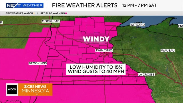
A red flag warning will go into effect for 72 counties in Minnesota on Saturday, according to the Minnesota Department of Natural Resources.
As of late, the warmth is winning out, but Minnesotans know all too well that winter can often make a quick encore.
A cold front dropping south is bringing Minnesota back to reality with more seasonable temperatures on Sunday.

Friday saw our warmest day of the year, so far. Saturday will see even warmer temperatures with highs potentially hitting the 70s.

Saturday's high will reach the lower 70s across the Twin Cities area, marking the warmest day of the year so far as spring officially begins Friday morning.
The major weekend snowstorm in Minnesota is winding down Sunday evening, but a NEXT Weather Alert will remain in effect into overnight Monday.
Minnesota Gov. Tim Walz has signed an executive order authorizing the Minnesota National Guard to support emergency operations for a winter storm expected late Saturday into Sunday.
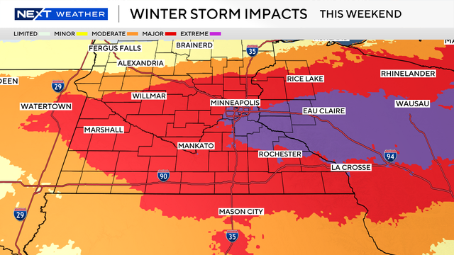
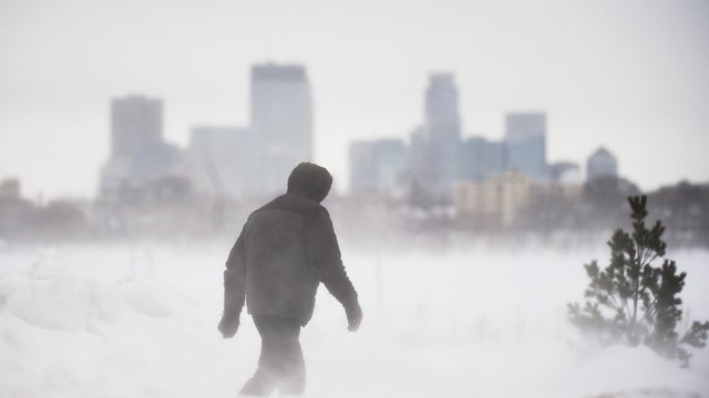
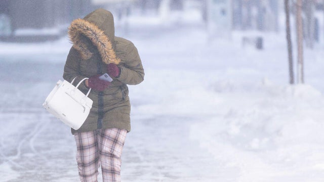
A major winter storm is bringing significant snow and wind to parts of Minnesota and Wisconsin this weekend.
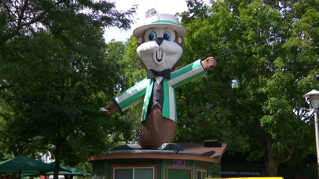
The Minnesota State Fair is still more than five months away, but you can get your hands on a piece of the fun right now during the fair's Memorabilia and Surplus Equipment Auction.

Sunday could see temperatures in the 60s with sunshine. Monday will also be above average.
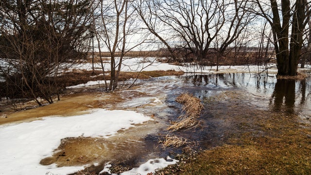
Friday's rainy weather won't cause any flooding, but this is the time of year when high water can quickly become a problem.
Off-and-on showers continue for most of Friday in the Twin Cities amid a classic, messy March storm.