Major snowstorm blankets parts of U.S. over Thanksgiving weekend
The National Weather Service said "travel could be difficult to impossible" in places where snowfall is forecast to continue into the beginning of the week.
Watch CBS News
The National Weather Service said "travel could be difficult to impossible" in places where snowfall is forecast to continue into the beginning of the week.
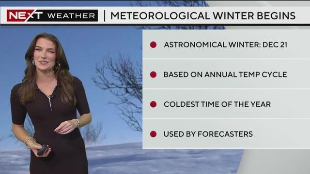
Sunday will be another nice day to round out the weekend and kick off the Meteorological Winter!
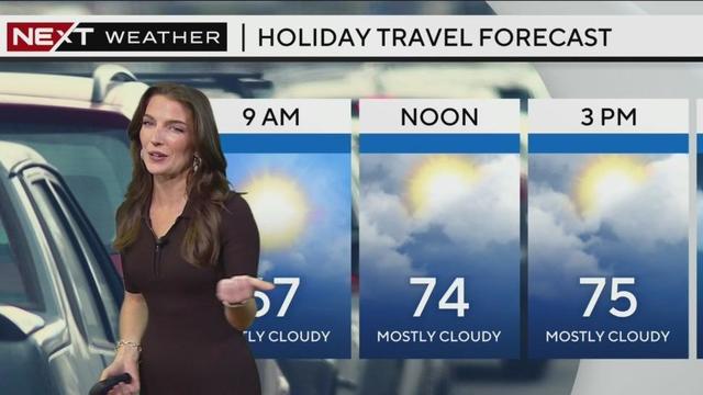
Next week will usher in a brief cooling trend.

Today is a bit cool, starting in the 70s reaching 78. A cool front is coming.

CBS New York meteorologist John Elliott said "very intense snow" will hit communities along the Great Lakes, Plans and Midwest regions as upwards of 6 feet of snow is forecast.
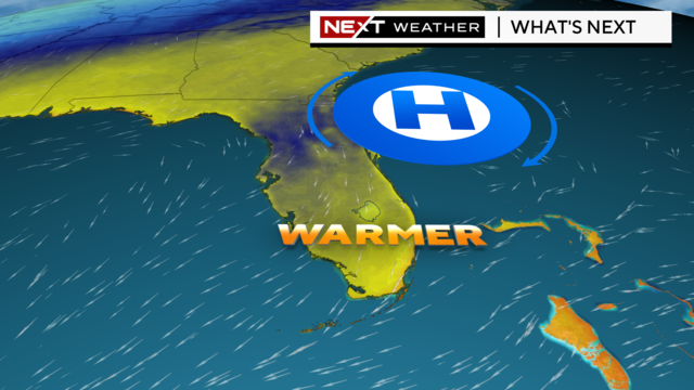
A warming trend will begin later today into next week.
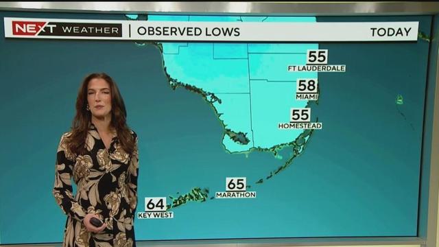
South Florida lows have fallen into the middle and upper 50s Sunday morning.
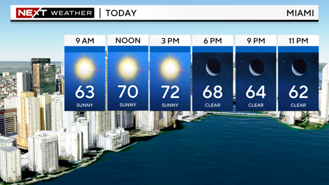
Miami-Dade and Broward Counties will wake up with temperatures in the mid to upper 50s in Miami-Dade while those in the Florida Keys will start in the mid to upper 60s.
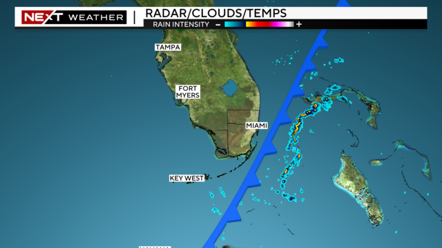
Big changes are coming for South Florida as we inch closer to the weekend!
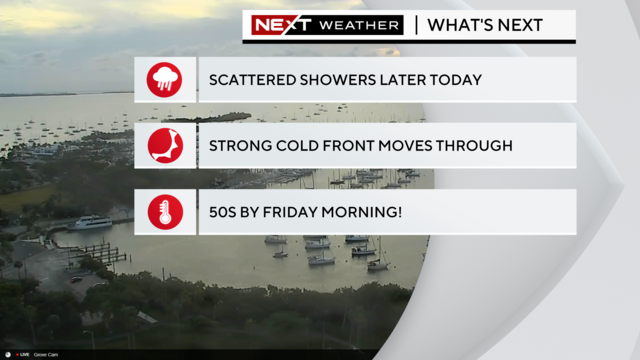
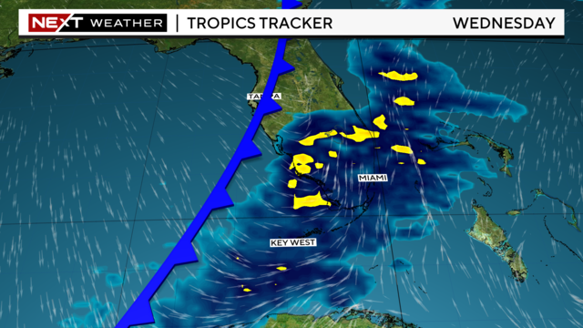
The cold front CBS News Miami's NEXT Weather team has been tracking for the past several days will move through South Florida on Wednesday.
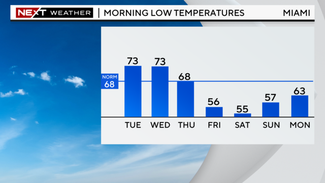
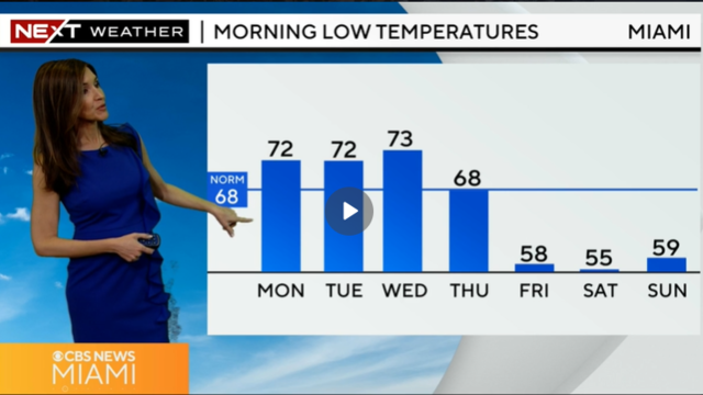
The coldest air of the season is on the way. Although it will be warm Tuesday and Wednesday, a cold front is on the way and we'll enjoy sweater weather late week and into the weekend.
Highs today will climb to the low 80s under partly cloudy skies.
Expect a bit more cloud cover today, with low clouds moving in from the east through the afternoon.
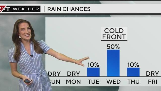
A cold front is coming but for now, enjoy the mostly dry conditions and temperatures in the lower-80s.
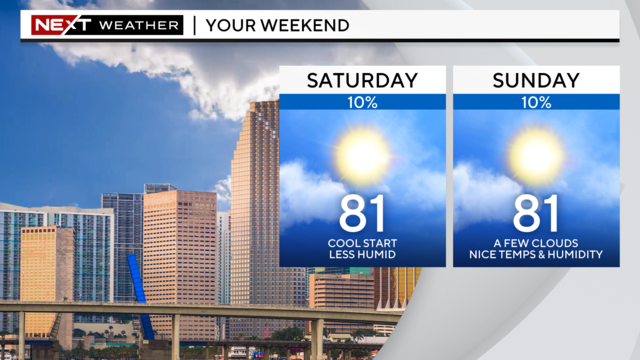
This warmup comes ahead of our next cold front set to move through Wednesday.
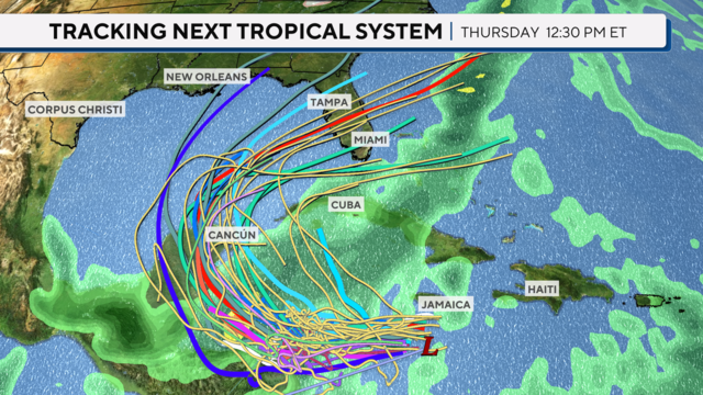
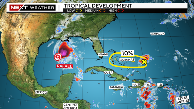
The last day of the 2024 Atlantic Hurricane Season is Nov. 30, but as we near that finish line, the Caribbean apparently has other thoughts in mind.
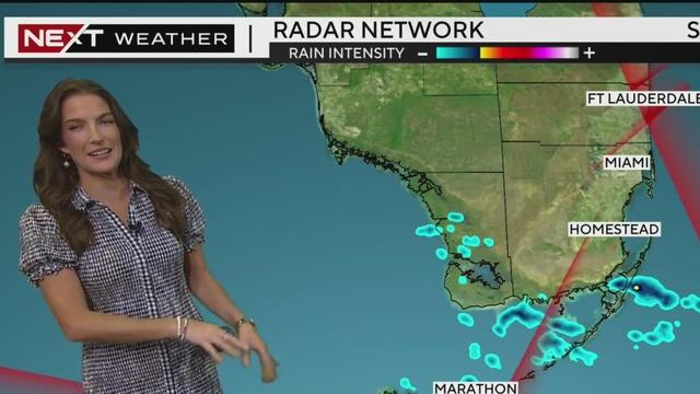
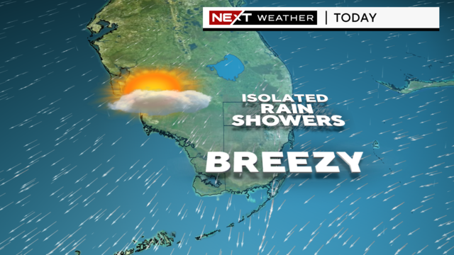
Light showers pass through a breezy day in South Florida.
Sunday will feature a slightly higher chance for a few showers, but most areas will continue with the drier weather.
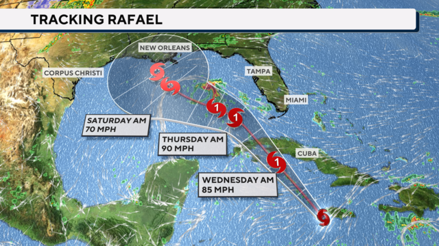
Rafael, the 18th named storm of the Atlantic hurricane season, became a hurricane on Tuesday evening as it approached the Cayman Islands.
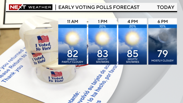
Winds will increase out of the east 15 to 20 miles per hour with gusts as high as 30 miles per hour. The sun will set earlier at 5:37 p.m., due to Daylight Saving Time ending this weekend.
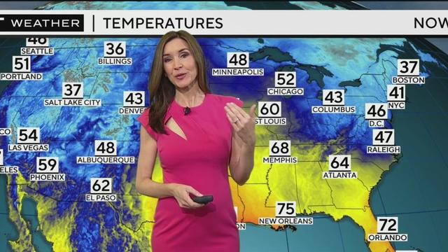
It's a balmy high 70s to low 80s in South Florida with intermittent showers that are expected to increase next week.
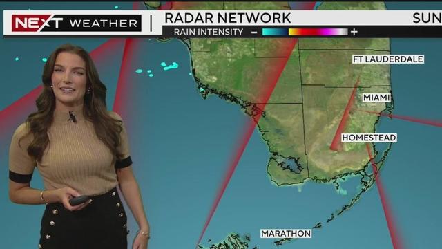
Sunday brings a pleasant end to the weekend, with lower humidity and mainly dry conditions.
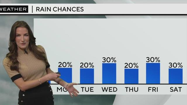
Low rain chances and mid-80 degree weather makes the next few days a great time to be out and about in South Florida but beware of rip currents at the beach.
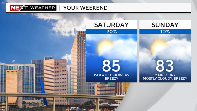
For trick-or-treating on Thursday, most will remain dry with a breeze out of the east and temperatures in the upper 70s to low 80s.
Sunday brought another nice day of weather to South Florida.