Scorching temperatures in North Texas on Saturday before storm chances return on Sunday

The weekend is getting off to a hot start in North Texas.
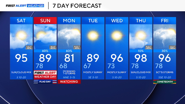
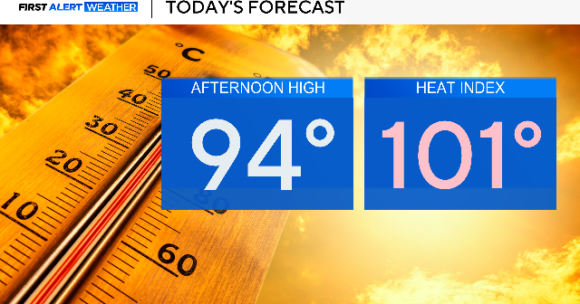
Expect plenty of sunshine this afternoon with breezy winds gusting up to 20 mph at times. The high will be 95 degrees with a heat index of 103 degrees for the Metroplex. Anyone planning on being outside for an extended period of time should be sure to drink plenty of water.
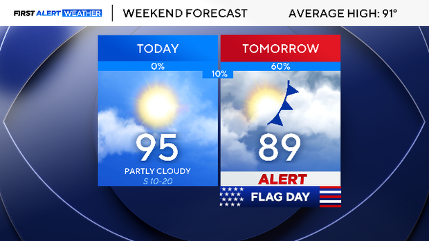
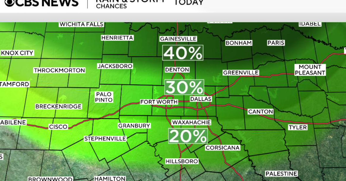
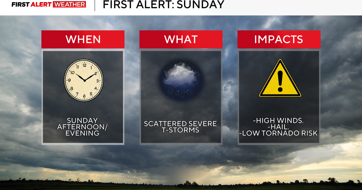
Sunday is a First Alert Weather Day due to a cold front that will spark up storms throughout the day. This will cause disruptions to outdoor festivities, including people traveling to the World Cup match at Dallas Stadium.
The front will ignite storms along the Red River Valley in the morning,with scattered storms anticipated across the Metroplex in the late morning and afternoon. By the evening, storms are likely to move south, but the timing depends on where the front stalls.
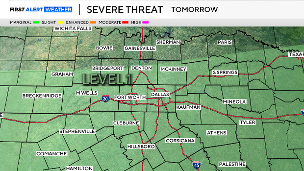
The Storm Prediction Center has issued a level 1 out of 5 threat for severe weather. The highest concern is damaging winds, frequent lightning and flooding.
On Monday, expect more scattered storms in the morning with activity moving south through the day.
Rain chances diminish Tuesday through Thursday, with sunshine and temperatures increasing. The high on Thursday is 98.
The upcoming holiday weekend will see more opportunities for rain; Outdoor festivities celebrating Juneteenth and Father's Day may be impacted.