Hot, rainy Friday in North Texas ahead of storms arriving on Sunday

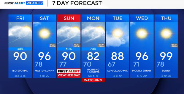
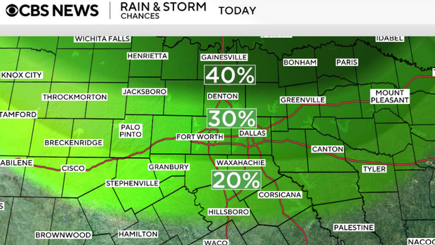
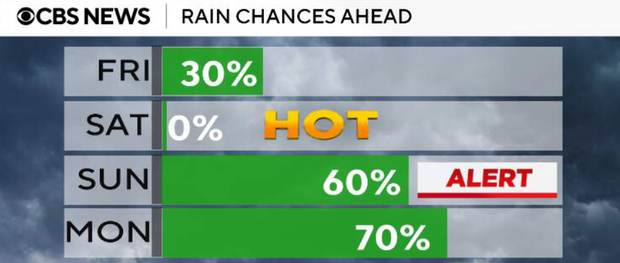
Scattered showers and thunderstorms are expected Friday in North Texas, mainly along and north of I-20 through the early afternoon. Storms will gradually diminish in coverage later in the day, although isolated redevelopment remains possible. Highs will range from the upper 80s north to the low and mid 90s south.
Any lingering showers and storms will quickly diminish after sunset. Warm and humid conditions continue with overnight lows in the upper 70s.
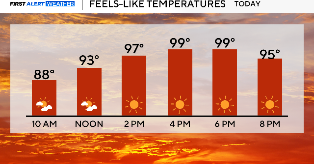
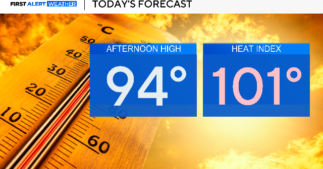
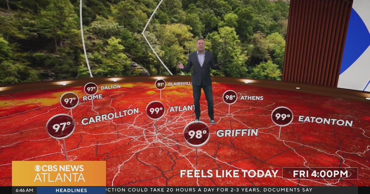
Saturday will be mostly dry, hot, and humid. Highs will reach the low to mid 90s with heat index values exceeding 100 degrees during the afternoon.
On Sunday, a stronger cold front will move toward North Texas, bringing scattered showers and thunderstorms. A few storms may become strong with damaging wind gusts, frequent lightning, heavy rainfall, and localized flooding.
Most of north Texas is at a level 1 (slight) risk if severe weather. The exact timing of Sunday's storms is still unclear, with some guidance bringing storms into the region during the late morning and afternoon, while other models show it moving more slowly.
Storm coverage is expected to increase through the day, with impacts possible for outdoor events, travel and FIFA World Cup activities across the Metroplex.
On Monday, additional showers and thunderstorms remain likely, especially during the first half of the day. Heavy rainfall and localized flooding may become the primary concerns if storms repeatedly move over the same areas.
Rain chances gradually decrease Tuesday as drier air filters into the region behind the front. Temperatures will cool into the upper 70s and 80s Monday and Tuesday before warming back into the 90s by the middle of next week.