Milder start to the week ahead of another brief cold snap with snow showers
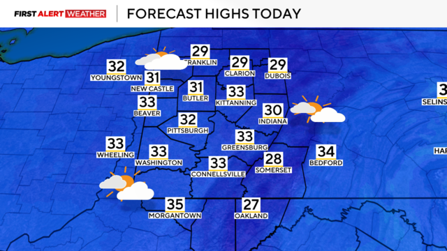
Temperatures will drop a few degrees tonight with a few snow showers lasting into Monday.
Watch CBS News
Temperatures will drop a few degrees tonight with a few snow showers lasting into Monday.
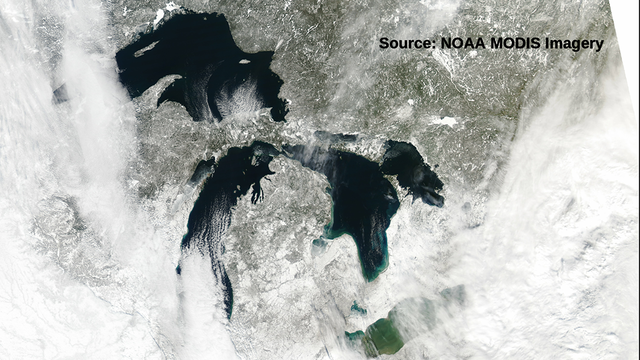
We have talked about how each snowfall is different. How snow is created is different, too.
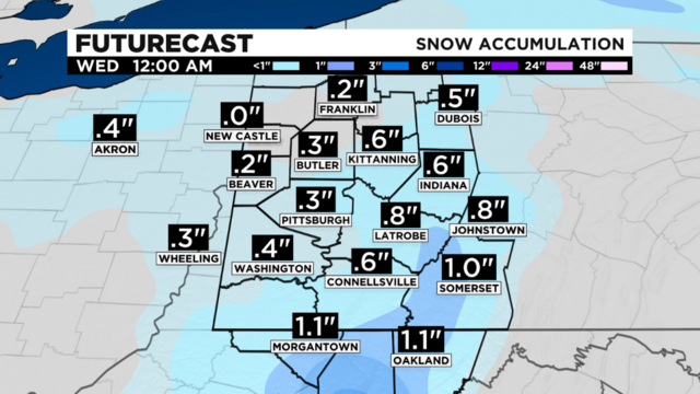
A trough of cold air is in place to start the day with the coldest blast of air set to arrive overnight.
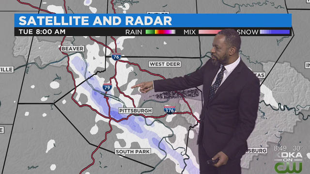
Pockets of snow are expected today as narrow bands of lake effect snow will continue moving through the area.
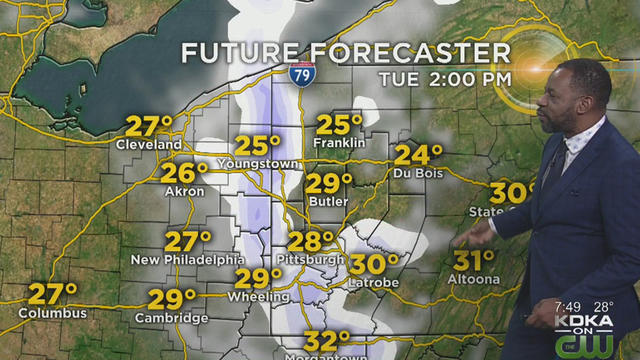
Snow isn't done just yet as temperatures will continue to go down through the day.
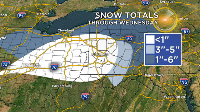
If you don't like snow and are thinking about heading to Erie or along the banks of Lake Erie just don't do it over the next couple of days.
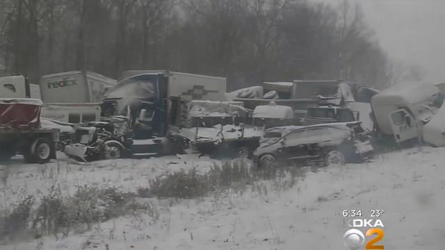
PennDOT says 15-vehicle pileup on Interstate 90 in Erie is being blamed on lake-effect snow.
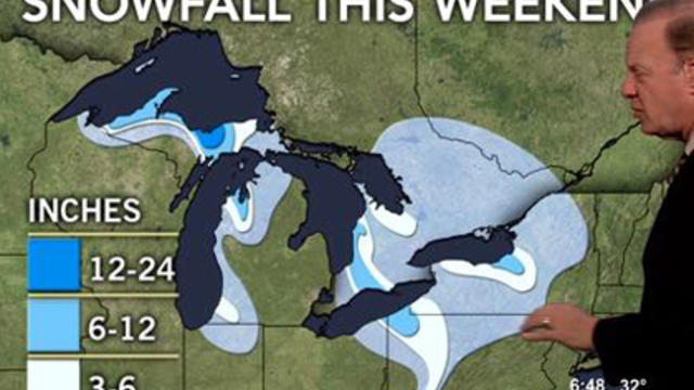
It's going to be a cold, wintry weekend in Pittsburgh with falling temperatures and some snow showers.
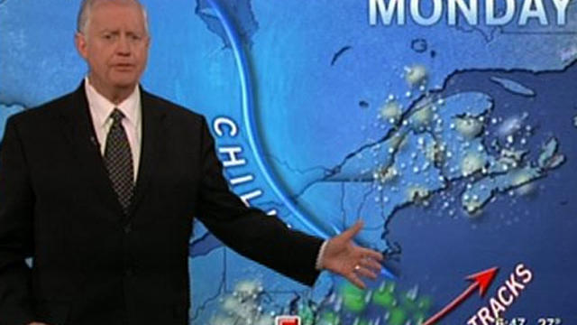
Bursts of lake effect snow have been troublesome across the area over the past 24 hours.
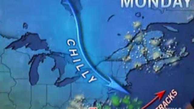
Snow flurries were flying off and on across the Pittsburgh area Sunday, and at times, it made it difficult for drivers to see.
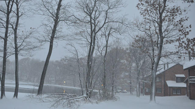
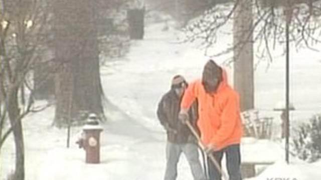
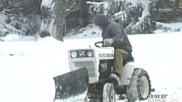
Winter has officially arrived in the Pittsburgh region as the first significant snowfall has hit the area. However, relief is on the way.
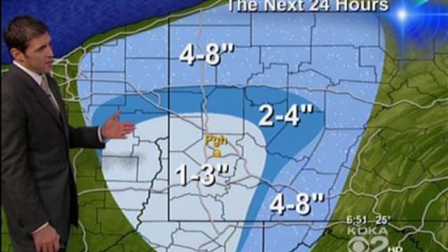
Much of the area got its first taste of snow overnight and it is not expected to stop until later this week.
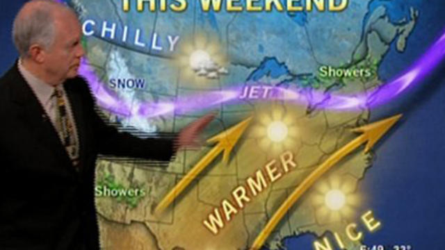
Cooler temperatures have moved into the area today and some places are seeing snow this morning, but the good news is that warmer weather is expected this weekend.