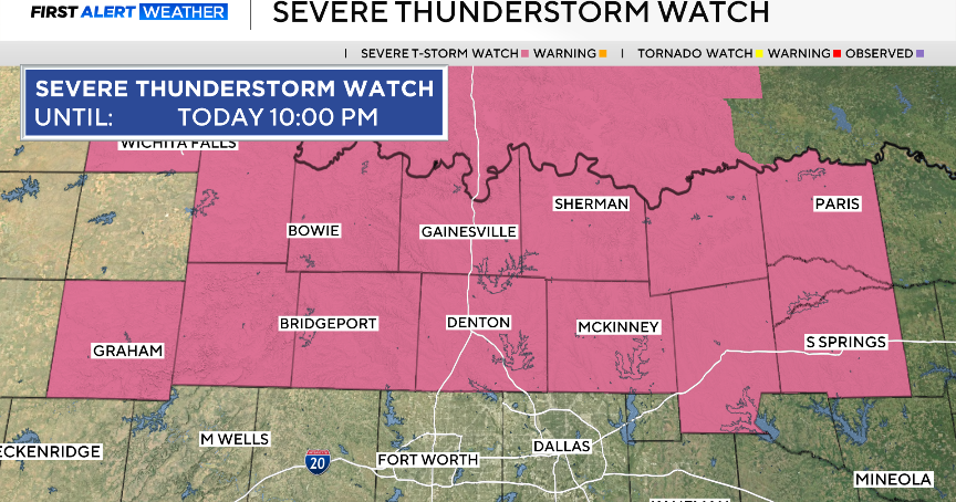
Threat of thunderstorms continues in NYC area this weekend. Map shows where storms could be severe.
Saturday turned out to be a nicer day than expected, despite a threat of isolated strong-to-severe thunderstorms.
After a wet Friday, that even produced a weak tornado in far southern New Jersey, the severe threat has diminished.
A stray shower or storm may still pop up. Lows will be mild and muggy, not falling out of the 60s.
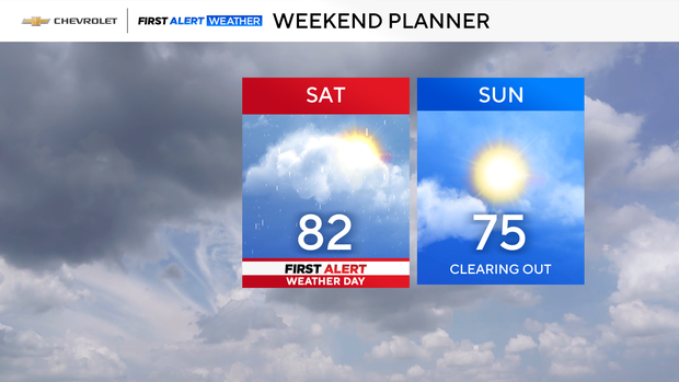
Isolated storms possible Saturday
The chance of storms takes a break for the afternoon, and then returns by the evening hours.
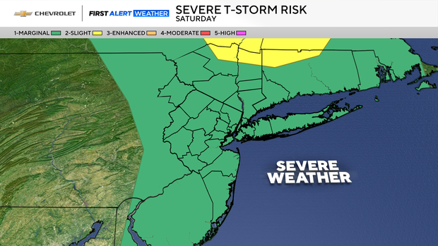
Saturday's severe threat does not look like a widespread, but more isolated in nature. Whatever storms do form will be capable of producing quick, heavy downpours, damaging winds and hail.
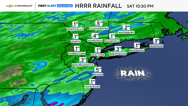
Given the speed at which these storms are anticipated to move, high rainfall amounts are not expected overall.
During the afternoon break, mostly sunny skies will help temperatures surge into the low and mid 80s across the region. With higher humidity in place, it will feel somewhat oppressive too.
Storms clear out Sunday
The storm threat comes to an end by Saturday night, followed by lower humidity and a gusty breeze. Despite that gusty breeze lasting into Sunday, temperatures will be pleasantly warm, topping out in the mid to upper 70s, under a mix of sun and clouds.