Why Minnesota's snow total forecast for latest storm has dropped


MINNEAPOLIS — A storm system is set to arrive in Minnesota late Friday, likely bringing several inches of snow for the Twin Cities.
Earlier forecasts showed the potential for up to 9 inches of snow in parts of the state, including the metro. But the latest accumulation models have dialed totals down a bit.
The WCCO NEXT Weather Team says based on information from six different forecast models, the metro could see between 2-4 inches of accumulation by late Saturday.
The National Weather Service has issued a winter storm warning across parts of central Minnesota including Alexandria, Little Falls, St. Cloud, Mora and Chisago City. Parts of Western Wisconsin are also under a winter storm warning. These areas could see between 5 and 7 inches of accumulation.
The agency has also issued a winter weather advisory for the metro and a large part of southern Minnesota.
The warning and advisory are in effect from Saturday at midnight through 6 p.m.
A NEXT Weather Alert has also been issued due to potential impacts on state roads.
So why the big change in Minnesota snow total predictions?
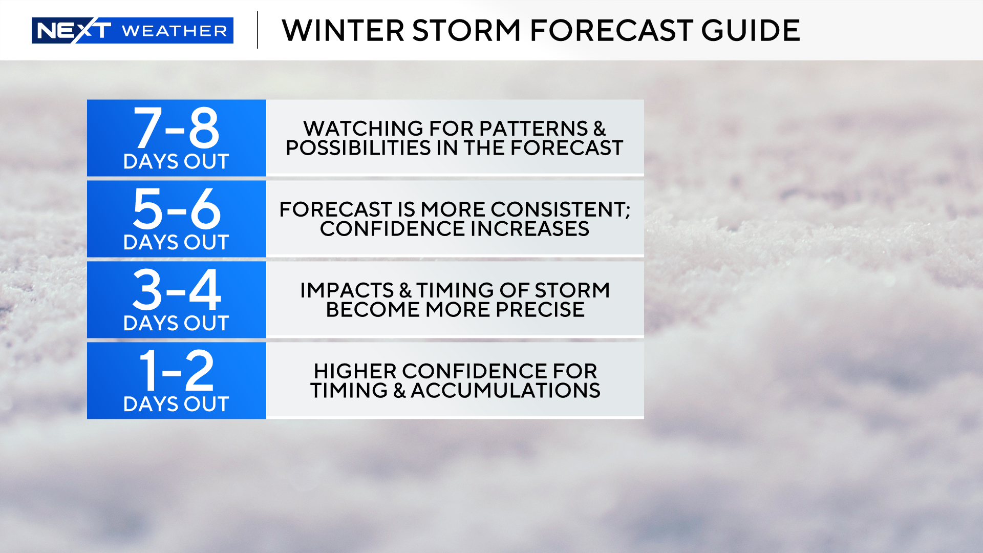
Dames reminds us that weather models are always going to change as we near an event.
"The closer we are to that event, the more clear the forecast is. That means, there will be a contrast between weather data from three days ago, and even a few hours before the snow arrives," Dames said.
A few months ago, WCCO meteorologist Mike Augustyniak shared how long-range snow forecasting is not unlike winning "The Price is Right" game Plinko.
"As we get closer to the storm, meteorologists are dropping the puck closer and closer to the bottom of the board, limiting the number of paths the puck can take and the potential slots into which it can fall," Augustyniak said.
What's changed in the last 24 hours?
The amount of moisture has come down, meaning we won't have as much to work with to build some of the massive snow totals that were indicated in previous weather models.
And Dames says there are signs of dry air preventing some areas from seeing snow until later in the night.
What hasn't changed in Minnesota's forecast?
Dames say the general timing and location of the snow is still the same.
"It will happen late Friday night closer to midnight and will continue through Saturday morning," he said.
The system will exit in time for Super Bowl Sunday, but it will usher in a string of days with single-digit highs and subzero lows, likely leading to some cold weather advisories.