Torrential Rain Coming Friday, Slim Chance Of White Christmas
The most popular question to our weather team lately - "Is there any chance of a white Christmas?"
Watch CBS News
The most popular question to our weather team lately - "Is there any chance of a white Christmas?"

We are in for a special treat Thursday night. The Geminid Meteor Shower is set to peak overnight, and is generally regarded as one of the best meteor showers of the year.

For the most part, this will just be a nuisance for the evening commute.

There will not be any major weather headaches this week, and the commutes should be fine, well at least the weather won't make them any worse than usual.

Our forecast will be complete with all the standard "ifs" "ands" and "buts" that all the others have, BUT we like to think that our forecast has an excellent chance of being accurate IF the atmosphere cooperates AND unfolds as we think it might.
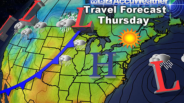
I am happy to report that all is quiet in the weather department this week not only in New England, but for the majority of the country.

Quiet weather is expected not just in New England but across the majority of the country.

I think everyone would agree the Northeast could use a break and it appears that is exactly what is in the cards to kick off the holiday travel season.

With each and every snow event there is almost certain to be an area or areas where Mother Nature goes rogue and fouls up our nice and neat snowfall forecast map.

The first true nor'easter of the season is bringing snow along with strong coastal wind gusts to Massachusetts.

This will be more of a typical New England early winter-type storm - snow to the north and west and strong northeast winds at the coastline.

If this trend continues and this nor'easter tracks well offshore this would be a good news-bad news situation.

The Nor'Easter will reach Cape Cod and the Islands around midday on Wednesday in the form of rain.

The peak of the storm will be overnight Wednesday into Thursday morning.

After the beating from Sandy and clouded subsequent days, it was nice to see a greater amount of sunshine today as temperatures reached the lower 50s in many areas.

Another storm will be making a run at New England Wednesday, according to WBZ-TV meteorologist Joe Joyce.
There is likely to be some sort of storm off our coastline by the middle of next week. How close it comes and what its track and strength will be remains to be seen.
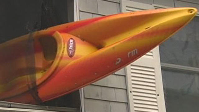
The National Weather Service has confirmed that a microburst hit Wareham and Onset Tuesday night, just a day after Hurricane Sandy.

The official trick or treat forecast is a pretty good one.
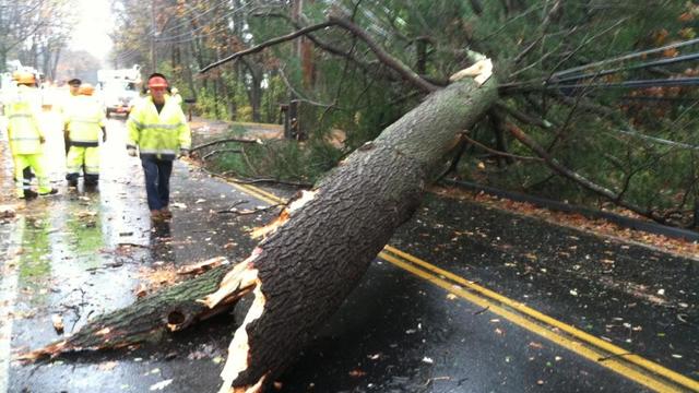
Here are the latest power outages in Massachusetts and New Hampshire from Hurricane Sandy.

The worst of Sandy has passed. Here is what we saw and what we could have seen.
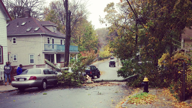
Sandy is hitting southern New England with Hurricane and Tropical Storm force wind gusts.

A severe high tide could rival that of Hurricane Bob back in 1991, and could be the most serious and severe blow from Hurricane Sandy when all is said and done.
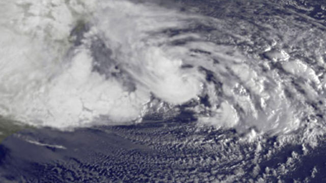
We are now approaching the peak of what Sandy has to offer for New England.
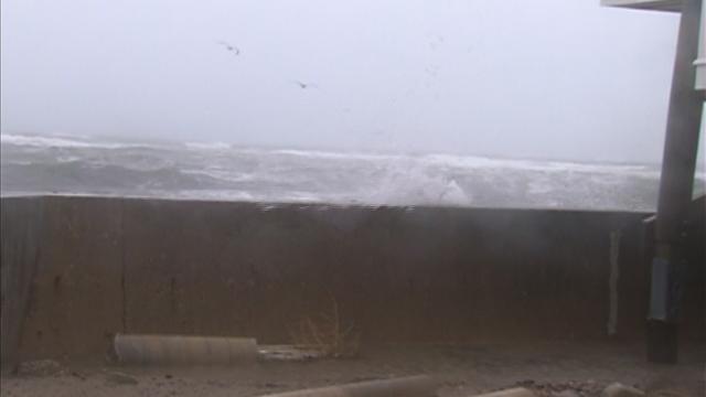
Voluntary evacuation recommendations have been issued in Scituate, Lynn, New Bedford and Plum Island.