Blizzard 2013: Storm Bears Down On Mass.
BOSTON (CBS) - Bombogenesis has begun. It is a term that you probably don't hear at the dinner table very often but every once in a while your local, friendly meteorologist will dust it off and throw it out there.
This is certainly one of those occasions.
Bombogenesis is basically a fancy way of saying there is a rapidly deepening, explosive-type development of a storm.
If you watched us at all this week you may have seen two storms on the weather map - one in the Upper Midwest and a second in the Deep South.
Read: Mass. Travel Ban & State Of Emergency
The long-awaited marriage of these two systems is happening as of 6:30 p.m.
Intense, blinding snow bands have come ashore on the South Coast and are making steady progress northward.
The peak of this storm will last for about 12 hours, from 8 p.m. to 8 a.m. During this time frame, snowfall rates will range between 1" and 4" per hour.
Combine that with winds gusting 20-40 mph inland and 40-70 mph along the coast and you've got yourself a good ol' fashioned blizzard.
Check: Closings | Interactive Radar | Forecast Maps | Current Conditions | During The Storm | Emergency Readiness | Parking Bans
Visibilities will drop to near zero and by the time we can see the landscape again Saturday morning, about 20" of snow will have blanketed the entire area. After 8 a.m. Saturday, the storm will begin to move east of New England and the shield of snow will start to break into north-south orientated bands.
Related: Weather Blog | Share/View Photos | Share Snow Totals |Ask The Weather Team
These bands will persist through midday and by afternoon most of us can begin the cleanup.
Cape Cod will be the last to see the snow taper off during the late afternoon hours.
When all is said and done, just about every town in southern New England will have received 18-24" of snow, with many locations reaching as high as 30".
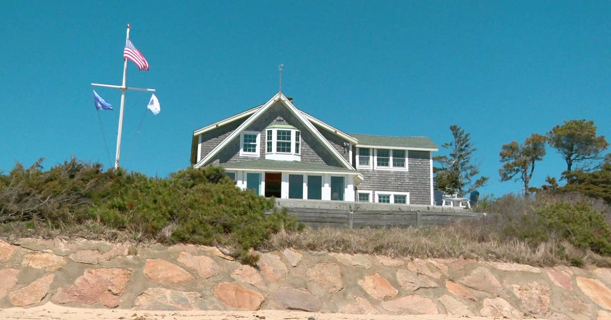
We are still very concerned with the high tides - the first tonight around 10 p.m. and more important Saturday mornings 10 a.m. high tide. Moderate to major coastal flooding is still being forecast between 8 a.m. and Noon on Saturday for all east and northeast facing beaches.
Of particular note would be the inner Cape Cod Bay area near Sandwich where water may tend to pile up, and a storm surge over 4 feet is likely.
With winds gusting over 40 m.p.h. all night long and some of the heaviest snow we have seen in years falling from the sky, there is certain to be widespread damage to trees and structures.
By morning there will be tens of thousands without power.
We would continue to urge everyone to stay tuned to updated forecasts and certainly stay home and stay safe.
