Weekend Storm Looking A Lot Weaker
What looked like such a slam dunk forecast a few days ago has become an absolute head scratcher. Honestly, this storm could end up being a bust.
Watch CBS News
What looked like such a slam dunk forecast a few days ago has become an absolute head scratcher. Honestly, this storm could end up being a bust.

It's a definite that today will be a pleasant winter day with sunshine, lighter winds, and highs flirting with 40F.

This storm will be very different from the last two, mainly because it will be a warmer storm.
All is quiet yet very cold in the weather department today. Partly sunny skies will prevail with blustery conditions that will make it feel even colder than the actual reading on your thermometer.
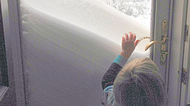
Here are the latest snowfall totals from the National Weather Service as of Saturday evening.

Clearly this is not a storm to be taken lightly. If you have not already completed your storm preparations you should do so immediately.
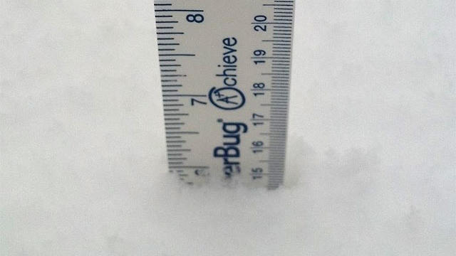
Here are the latest snowfall totals from Rob Macedo, the SKYWARN Coordinator for the National Weather Service in Taunton:
We are still expecting a widespread 18-to-24 inches or more from this storm, with some isolated areas possibly getting 30 inches.

This could turn out to be a top 5 snowstorm for Boston. There have only been 6 other storms (on record since 1892) when Boston has received 20+ inches of snow from one storm.
The snowstorm Friday will be big, but will it be historic and rival some of the legendary storms of Boston's past? The short answer is it just might.

Each model now shows significant snowfall impacting southern New England, with the heart of the storm occurring from Friday evening through early Saturday morning.
Some light snow has fallen overnight creating slick neighborhood streets, sidewalks, and parking lots. Please drive and walk carefully.
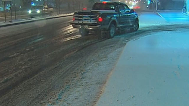
Massachusetts roads started to get slick Wednesday night as a winter storm arrived that could drop up to a foot of snow in some parts of the state.
Massachusetts and the rest of New England is bracing for a wintry mix of snow, sleet and rain.
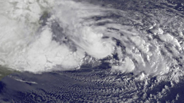
Lately, conditions have been perfect for an explosive weather pattern. Hurricane Sandy was followed by a November nor'easter bringing the season's first snowfall.

With each and every snow event there is almost certain to be an area or areas where Mother Nature goes rogue and fouls up our nice and neat snowfall forecast map.

The first true nor'easter of the season is bringing snow along with strong coastal wind gusts to Massachusetts.
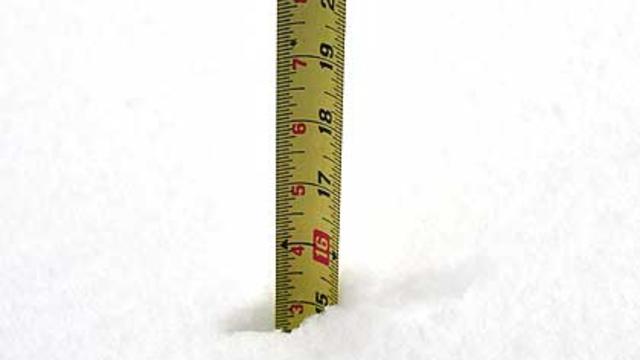
The first nor'easter of the season brought several inches of snow to many towns in Massachusetts.

A New Hampshire National Guard team is heading to New York to help communities getting hit by the incoming Nor'easter.

This will be more of a typical New England early winter-type storm - snow to the north and west and strong northeast winds at the coastline.
Outside of 495, there will be heavy, wet snow that may accumulate 1-to-3 inches.

If this trend continues and this nor'easter tracks well offshore this would be a good news-bad news situation.

The Nor'Easter will reach Cape Cod and the Islands around midday on Wednesday in the form of rain.
The Nor'easter will reach Cape Cod and the Islands around midday on Wednesday in the form of rain.

Another storm in the forecast has tree crews gearing up for more work, just as they're wrapping up from Hurricane Sandy.