Strong storm chances are possible for the Pittsburgh area on Tuesday
Tuesday is a KDKA First Alert Weather Day in the Pittsburgh area due to strong storms being possible. Extremely large hail, destructive straight-line winds, and even tornadoes will be possible.
This is the first "enhanced" risk this year for the Pittsburgh area. An "enhanced" risk is a level 3 out of 5. The higher the level, the higher the risk. It would be correct to say that being shaded for enhanced risk is rare.
The Pittsburgh area averages just two days a year that are marginal (level 3 out of 5) or higher.
During the day on Tuesday, there is some uncertainty when it comes to the timing of daytime storms. These storms will be scattered in nature, with conditions changing rapidly as storms speed through our area.
Rumbles of thunder will be about the only early warning you may get before conditions change quickly.
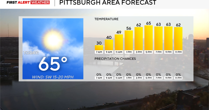
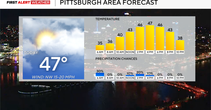
Getting back to Monday, it is looking pleasant this afternoon after the cool start. Highs should hit the mid-70s with noon temperatures in the low-70s. Winds will be light, coming in out of the south at around 5mph. It'll be sunny.
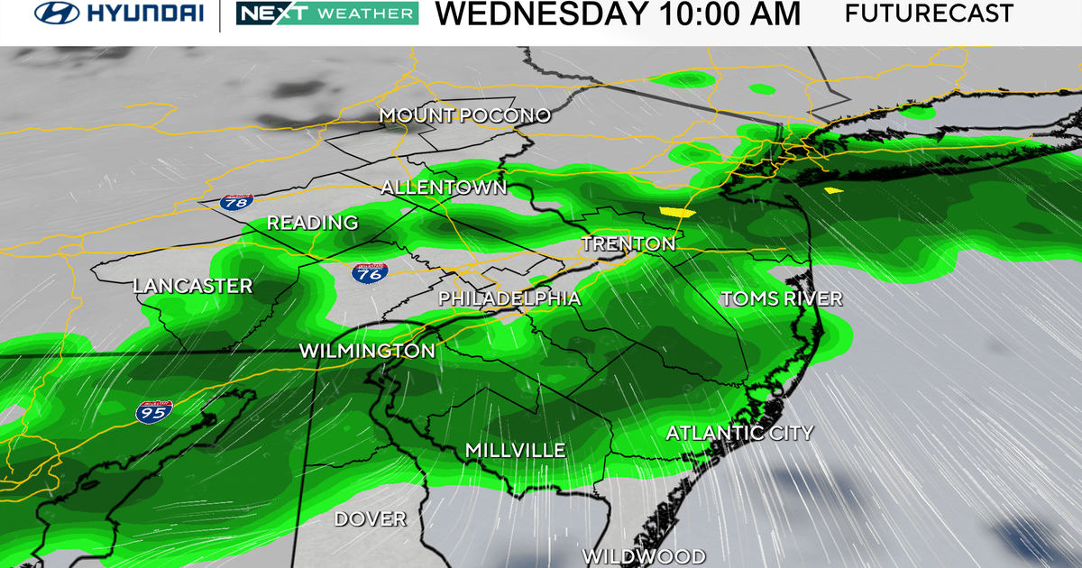
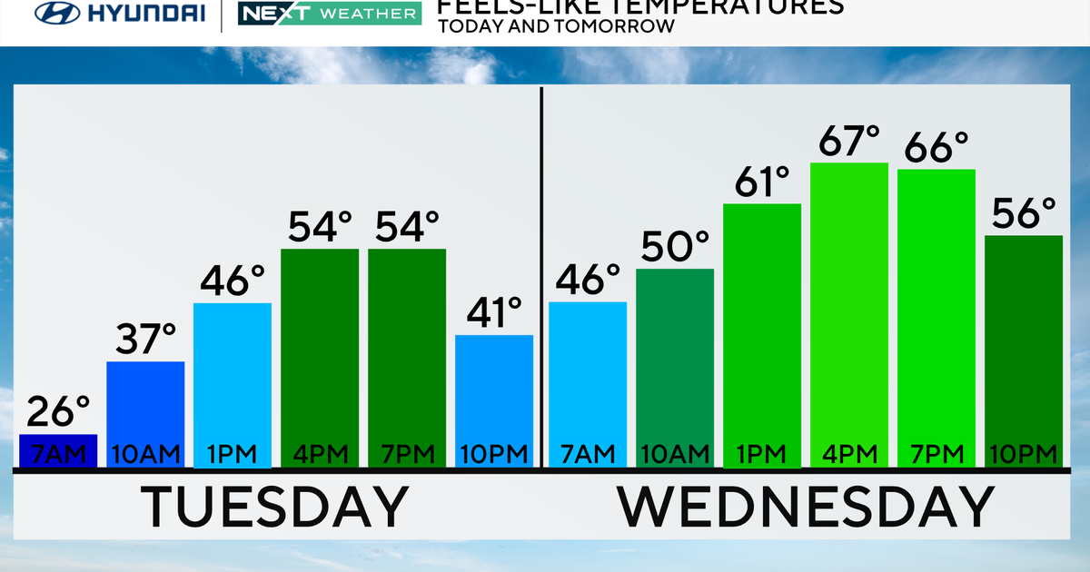
Behind Tuesday's storms, most of Wednesday is looking dry with highs near 70 degrees. Morning lows on Wednesday should be in the mid-to-upper 40s, thanks to cloud cover. Thursday and Friday will both see a rain chance throughout the day. I have highs hitting the low 80s on Thursday with off and on rain. Friday's highs should hit the low-70s.
The Pittsburgh marathon occurs on Sunday. The kids' marathon goes on Saturday morning. Both days are looking dry but chilly for the morning hours. There will be a lot of clothes left behind at the starting line as runners shed clothing to ensure they don't overheat.
