No Relief In Sight: Heat Wave Continues To Grip Tri-State Area
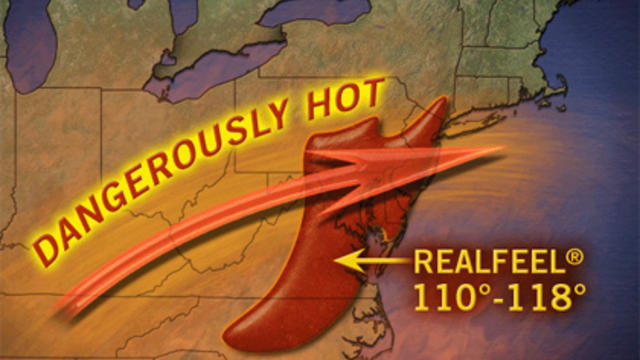
The next three days are expected to see temperatures in the middle to upper 90's. AccuWeather RealFeel temps could hit 105 to 110 degrees each afternoon.
Watch CBS News
The next three days are expected to see temperatures in the middle to upper 90's. AccuWeather RealFeel temps could hit 105 to 110 degrees each afternoon.
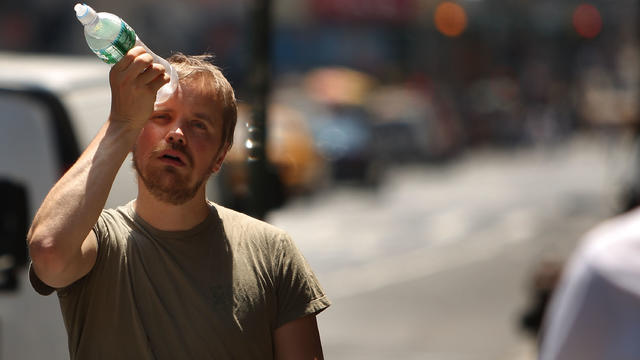
The Tri-State may be in for one of the hottest weeks of the summer. Since the mercury has topped 90 degrees for three straight days, the area is officially in its first heat wave of the season -- and it won't be cooling off any time soon.

Rain, sleet, snow and ice are pairing with thunder and lightning causing areas roadways to become icy and treacherous.
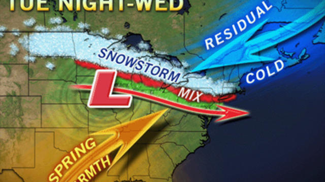
With the Tri-State area less than a week into spring, old man winter is back for a late March visit.
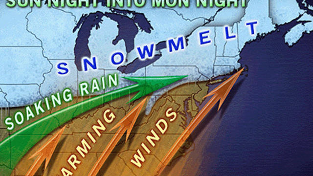
A combination of factors, including warmer temperatures, rain and snow melt could result in flooding for the Tri-State area.
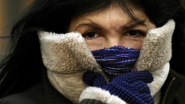
It is shaping up to be a blustery and cold early Wednesday morning in the Tri-State Area. With temperatures expected to drop to a low of 15 degrees overnight, residents will have to be prepared.

As if there wasn't enough snow on the ground, a weak clipper will bring light snow to the Tri-State Area this weekend before another storm, which is right on its heels, brings even more.
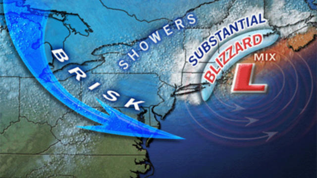
The wind is taking over and picking up in intensity and it may bring gusts of up to 35 mph which will help to prolong blowing and drifting snow which could hamper clean up efforts.
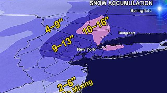
It won't be as bad as the Blizzard of 2010 but the Tri-State area is once again bracing for some significant snowfall.

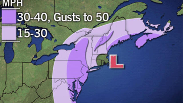
While the impending storm would not be as bad as the last one, strong winds and about an inch of rain are expected to hit the area Thursday into Friday night.