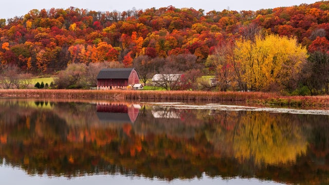
Weather Blog: Warmest March?
We are living weather history once again. It looks like this will be the warmest March on record.
Watch CBS News
We are living weather history once again. It looks like this will be the warmest March on record.

The steering winds are beginning to send some actual precipitation our way. It has been a tame winter to date, with 18 inches of snow and only three nights below zero here in the Twin Cities.

It has been a mild and dry February, and I don't see any big changes in the near future.
It looks like the big storm that dumped more than four feet of snow on parts of Colorado will miss us to the south.
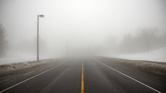
We have been melting away our snow with temperatures well above average. The wind is quite light, and that allows the low-level moisture to hang around in the form of fog.

We finally have some snow coming our way. It isn't a large storm, but we will take what we can get this winter.

We tied a daily record high of 49 degrees in the Twin Cities Monday. The previous high mark was set back in 2002.

On Wednesday we were 4 degrees shy of matching the daily high of 41 degrees set back in 2007.
Our Friday will feel fairly average for this time of year with a high around 27 degrees and a chance of some flurries.

We warmed to 40 for the first time this month Monday. Not record heat by any stretch, but a good ten degrees above average for this time of year.
The wind will make if feel below zero Thursday morning. There will be a secondary cold front dropping south as the day progresses. This is the leading edge of the coldest air yet this season.

We have just lived through the driest autumn in Twin Cities history. This goes back over the past 141 years.
November has been dry and warm, so why not end it that way. The last day of the month will be the warmest of the next several days.

On average, November and December are our cloudiest months. We are living up to it these days.

We've only received a trace of snow so far in the Twin Cities. That is about 5 inches below average for this time of year. We won't gain it all back in one storm, but we will see some snow.

We start our Thursday with the coolest air since late March. At least the wind will be lighter, but the teens feel cold.

We escaped the latest storm system without one single flake.
We wrapped up the month of October and will remember it as a warm and dry one.

Another storm system passes early on Friday that will trigger a few spotty showers with a few flakes mixed in up north.

Our temps finally shot up over average Friday with a high of 61 degrees (that's 5 degrees warmer than average). Lucky for us, the mild air will stay in place right through the weekend.
It is time to say goodbye to the November-like air mass that has been parked over us for the past few days.

We finally received a respectable amount of rain on Wednesday. Many towns enjoyed over half an inch.
After a beautiful first weekend of October, expect more sunshine and unseasonably warm weather for this upcoming week.

Saturday will mark our 13th consecutive dry day, which is by far the longest dry streak of the year.
Highs will be closer to average this weekend, with a chance of a shower over southwestern Minnesota Saturday afternoon and evening.