Weather Blog: Clouds And Sun
The atmosphere overhead will be slightly unstable this weekend, so a few scattered showers will be possible at times.
Watch CBS News
The atmosphere overhead will be slightly unstable this weekend, so a few scattered showers will be possible at times.
That was quite the soaking we received Tuesday night. Many towns saw rain totals over 2 inches.
A pesky low pressure system over southeastern Minnesota will move slowly away on Saturday.

Expect the showers to linger into the day on Saturday. They will be scattered in nature, but you'll want an umbrella handy for any outdoor plans.
We enjoyed some of the finest weather in the country on Wednesday. We had sunshine, light breezes and comfortable temperatures and humidity.
Tuesday was quite a change from our recent warm and muggy weather. It was the first time that our high temperature failed to top 80 since mid-July.
It's going to be a warm and humid Saturday throughout Minnesota, and we've already had some thunderstorms roll through northwestern and north central Minnesota.
The first two days of August were humid and stormy in parts of the state. The past two have been delightful with plenty of sunshine and much less humid air. I hope you enjoyed the break from the humidity.
A severe thunderstorm watch has been issued for several counties in western, central and eastern Minnesota, including the Twin Cities metro area, until 9 p.m.
An upper level disturbance and cool front are expected to move toward us later today and tonight. The result will likely be some showers and thunderstorms.
Our air conditioners will be busy this weekend. Warm temperatures and dewpoints in the upper 60s to lower 70s will make it feel tropical.
High pressure is spreading over our region, giving us a sunny Saturday. Today will be much less humid than it was on Friday, making this a great day to enjoy the outdoors.
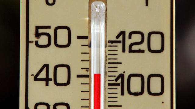
Thursday will be the hot one with temperatures punching up into the 90s for much of the state. The problem is that it won't be a dry heat.
Our Saturday will feature plenty of clouds into the afternoon, thanks to an upper level disturbance.
The air over much of Minnesota and western Wisconsin is moist this Saturday as dewpoints are in the 60s.
Our Twin Cities high temperature on Friday was only 62, well below our average high of 78 degrees.
Our average high this time of year is 76 degrees in the Twin Cities. We should top out in the 80s both days this weekend, with plenty of sun and a few patchy clouds at times.
Our Saturday will feature a cloud and sun mix, with a chance of scattered showers and thunderstorms developing at times this afternoon and evening. A few scattered showers and thunderstorms are possible on Sunday as well.
We were dry for five consecutive days. Wasn't it a nice treat?
High pressure will continue to dominate the region, keeping things nice around here. We will be a bit warmer on Wednesday with a high up near 70 in the Twin Cities.
Our Saturday will feature lots of clouds, and showers at times. It will also be breezy and cool.

The clouds will be with us until Sunday -- the rain almost as long. The good news is I don't see any severe weather in our future.

A number of Minnesota schools sent children home early as a blast of frigid winter wind chills moved into the state.

Meteorologist Mike Augustyniak has crunched the numbers to see how much fresh snow has fallen overnight and Friday morning.

On Thursday night, Minnesota will take a swing at record snow totals with snow that will linger into the day on Friday. It's not a massive storm, but it could cause some delays and headaches on the roads as people travel to see family.