Warm Monday before messy spring storm hits Tuesday
Monday will be warm, with temperatures well above average, before a messy spring storm moves through Minnesota in the middle of the week.
Clouds will increase throughout Monday with isolated evening showers up north.
Showers are possible in the Twin Cities on Tuesday with highs in the 40s. Wind speeds will pick up from the northeast as the day progresses.
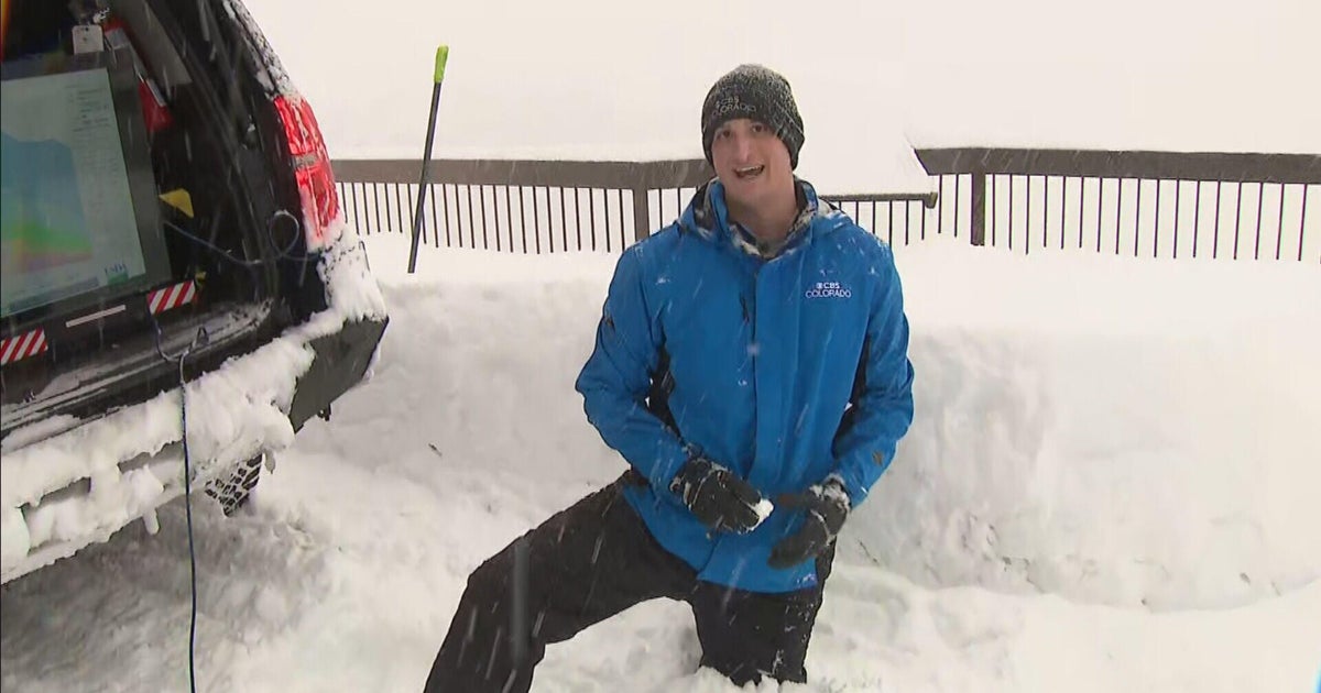
Temperatures will be cool enough to turn the rain into heavy, wet snow late Tuesday and into the overnight, leading to a NEXT Weather Alert for Wednesday.
A NEXT Drive Alert is also likely for the Wednesday morning commute due to northerly winds with gusts of up to 25 mph, which could make for blowing snow and blizzard conditions in southern Minnesota. Visibility could be cut down to less than a quarter mile while the flakes are flying.
Folks in the metro can expect 1-3 inches of accumulation by midday Wednesday, with slightly less expected in western Minnesota.
A winter storm watch will be in effect late Tuesday through Wednesday afternoon for counties east and south of the metro — including the southeast metro — due to the possibility 3-6 inches of accumulation, and 4-8 inches possible in some isolated areas. A winter storm advisory will also be in effect in northeastern Minnesota, including the Arrowhead, which more see heftier snow totals.
The rest of Wednesday will be windy and cold with temps in the 30s and wind chills in the low 20s.
Highs will return to the 30s and 40s to end the work week with 50s possible to close out the weekend, leading to a rapid melt of the new snow.


