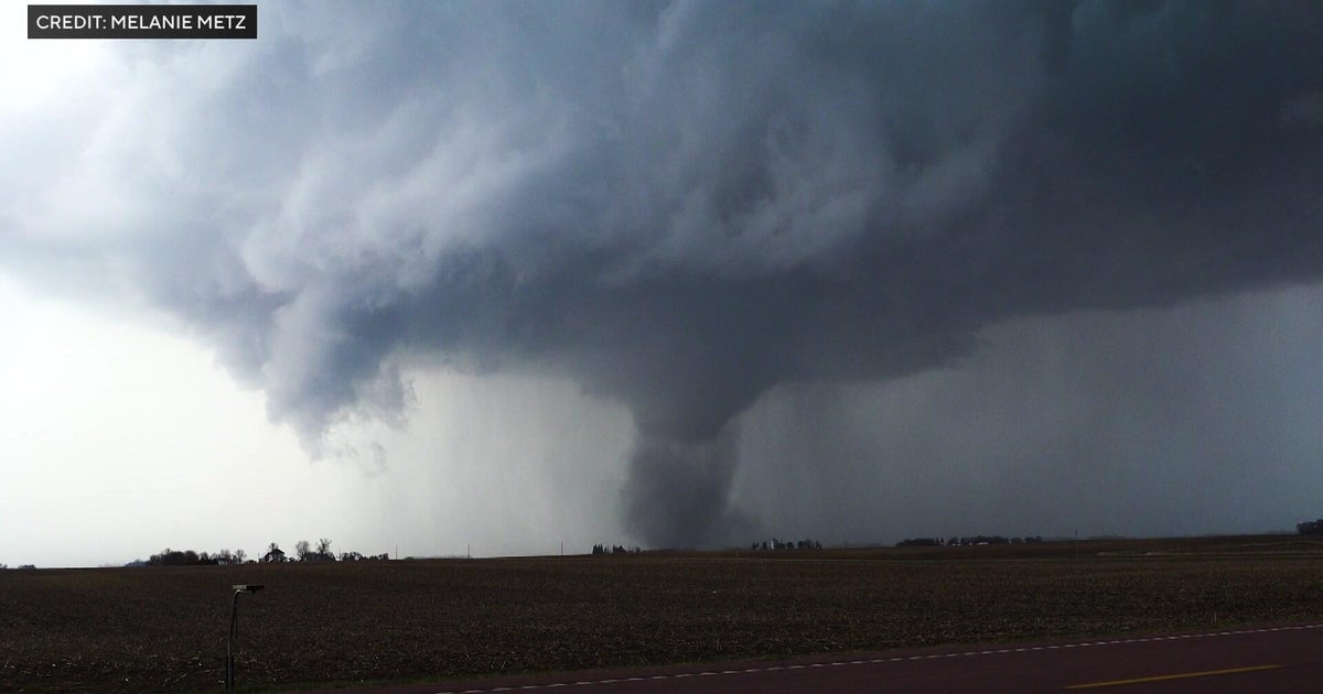
After round of destructive weather, North Texas cools down with isolated storms and rain possible


After a stretch of severe weather across North Texas, Tuesday's cold front finally brought us some cooler weather, and eventually some nicer weather as we get to the weekend.
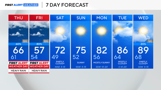
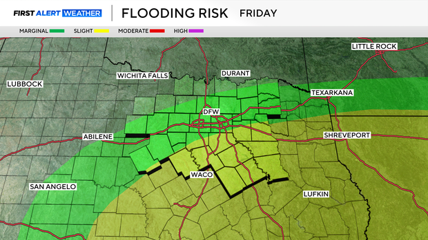
But first, we'll deal with rounds of heavy rain, starting Thursday afternoon and evening. That rain picks up as we get into Friday.
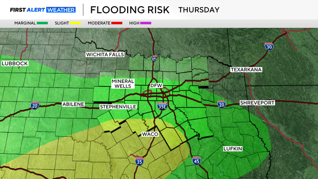
Because of this, we have issued First Alert Weather Days for both Thursday and Friday, due to disruptive, heavy rain at times. This rain will fall on top of already very saturated soil in spots, so the threat for flooding will be something to watch for the next couple of days.
The Weather Prediction Center has highlighted parts of North Texas both days with an Excessive Rainfall Outlook.
Fortunately, that rain clears up late Friday, and then we have much calmer weather as we head into the weekend.
We'll be looking at highs in the lower to middle 70s both weekend days, with plenty of sunshine and dry conditions.
We start the next workweek off on a dry note as well, with temperatures warming back through the 80s.
Keep your umbrellas handy the next few days, and keep an eye on the radar with outdoor plans.