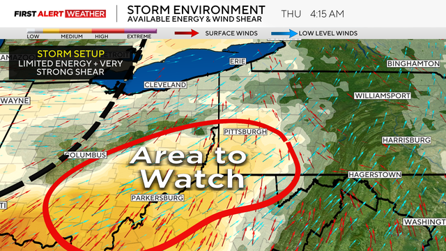
Severe weather brings tornado risk to Pittsburgh area on Thursday morning
Severe weather, including the potential for a tornado, is possible in the early morning hours of Thursday for parts of the Pittsburgh area.
Watch CBS News

Severe weather, including the potential for a tornado, is possible in the early morning hours of Thursday for parts of the Pittsburgh area.
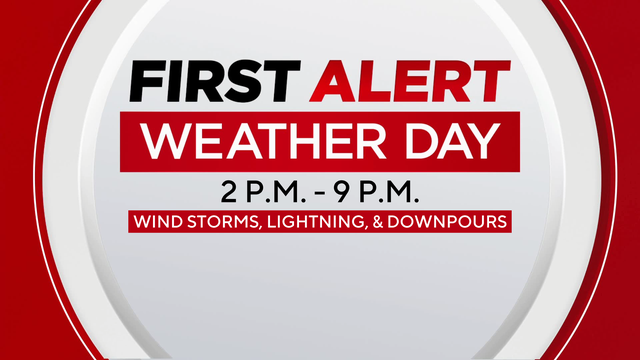
Not only are there severe weather chances today in Pittsburgh, but it will also be hot and humid.
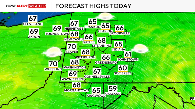
Scattered showers and storms are possible this weekend in Pittsburgh, but warmer temperatures are coming with them.
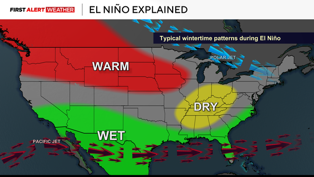
An El Niño is expected to take shape this summer and potentially become very powerful by fall into winter.

There's a slight chance for severe weather this afternoon and evening for the Pirates home opener.

Warmer temperatures with some humidity will end the week as isolated and scattered storm chances remain in Pittsburgh.
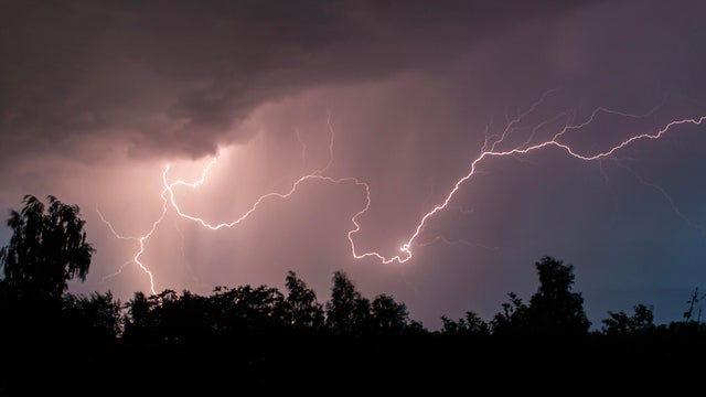
After an active overnight with strong to severe storms, we are left with heavy downpours throughout the morning commute and into the afternoon/evening.
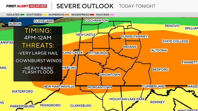
The threat of strong storms in Pittsburgh moves on Sunday evening. Heavy winds and rain are possible.
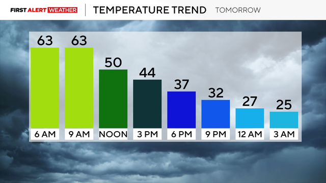
The winds will pick up today as temperatures climb into the 70s.
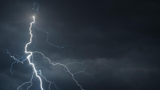
The National Weather Service said there could be two possible waves of severe weather and storms Wednesday.
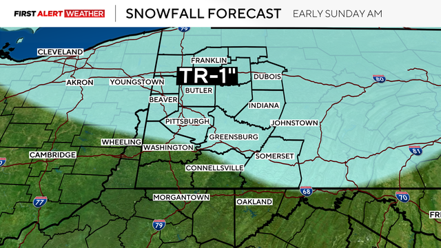
Temperatures were about 3-4 degrees warmer than forecasted Saturday across most of the Pittsburgh area.
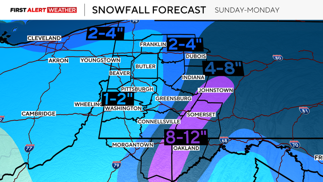
Most of the Pittsburgh area was in the dry slot following a departing strong low-pressure and cold front.
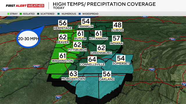
Between the rising temperatures, snow melt, and morning rain, the chances of flooding have increased in the Pittsburgh area.

A flood watch is in place for several western Pennsylvania counties until Friday afternoon as rain and higher temperatures could lead to ice jam flooding.
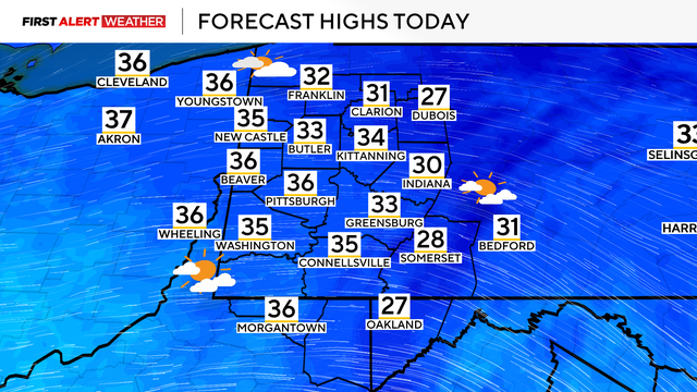
The weekend will see some warmer temperatures in the Pittsburgh area, but rain and even some more snow are looming.