Latest Round Of Snow Could Impact Afternoon Commute
Our next round of wintry weather will arrive later today and could impact the afternoon commute.
Watch CBS News
Our next round of wintry weather will arrive later today and could impact the afternoon commute.

We are tracking another winter storm, which will arrive Tuesday evening and extend into Wednesday.

A storm that is bringing heavy snow to the Midwest is going to bring unsettled weather to our area beginning today.

Snow showers are moving through the region today, and some of those could cause white-out conditions.

Snow showers are moving into the area, and there could be up to an inch or two of snow before it's all over.

More snow is rolling through this week.

A winter weather advisory has been issued for the Pittsburgh area beginning Saturday morning at 10 a.m.

A flood advisory is in effect for the Ohio River.

A blast of snow came down last night on Interstate 79 on Tuesday evening. It left about an inch in parts of Allegheny and Beaver counties, but this was not your ordinary snow. It was really man-made snow - a freak storm caused by the nuclear power plant in Shippingport.

The extreme cold weather will persist through Wednesday.

Pittsburgh's overnight snowfall set a one-day record for the city.

The storms that hit communities in Allegheny and Washington counties were confirmed as tornadoes by the National Weather Service. Officials surveyed the damage in Eighty Four and West Mifflin and both storms were determined to be EF0 tornadoes.

A Frost Advisory has been issued for parts of the area for the early Monday morning hours.
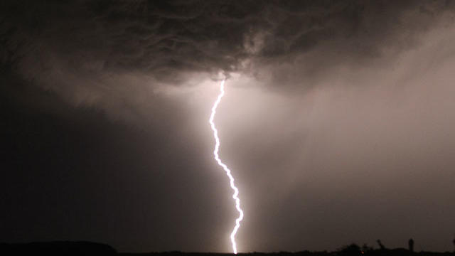
Severe thunderstorm watches and warnings have been issued for much of the area.

Temperatures are climbing into the 90s again today, which has prompted a Heat Advisory to be issued for the area.
A Severe Thunderstorm Watch has been issued for much of the viewing area until midnight.

It was another unsettled day as some severe weather moved across the area Sunday. While the day wasn't a complete washout, thunderstorm warnings were issued for several counties to the north of Pittsburgh.

Severe weather tore through the area Friday night, uprooting trees, knocking down power lines and causing damage to several homes. The day after, cleanup got underway and weather officials traveled around assessing the damage.

Thunderstorms rolled through the area Sunday afternoon and evening prompting several watches and warnings to be issued for many counties across the region.

The National Weather Service is planning to test a new way to explain the potential danger posed by tornados. Improved technology now can convey the severity of a tornado.

Snow moved in Friday afternoon, which has prompted the National Weather Service to issues Winter Storm Warnings and Advisories for the entire viewing area.
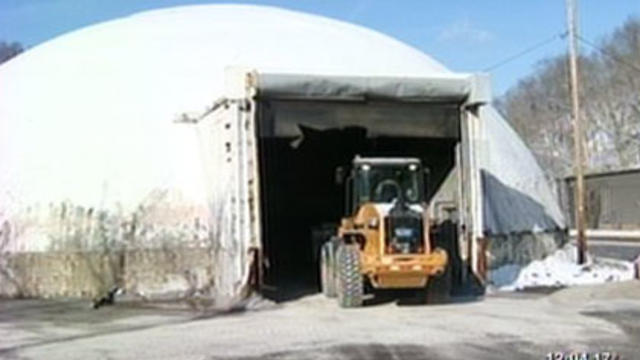
Road crews are gearing up for the blast of winter weather expected to head this way this evening.
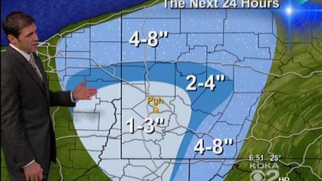
Much of the area got its first taste of snow overnight and it is not expected to stop until later this week.

On average, Pittsburgh has eight 90-degree-plus days a year. So far, we've already logged six and we're about to embark on a heat wave.

A rainy spring led to a late planting season for most Pennsylvania farmers. Back in May, you could squeeze water out of the soil at Pete Beccari's farm in Oakdale. Now though, it's been too dry.