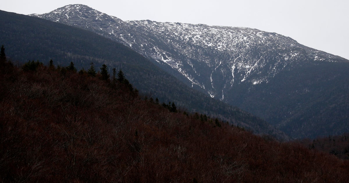
A bright, chilly start to the week in NYC, but more snow is on the way
You'll feel the winter chill stepping out the door Monday as temperatures across the New York City area started off feeling like the 20s and even teens in some parts.
The good news is that plenty of sunshine is on the way, but the First Alert Weather team is also tracking another round of snow later this week in the Tri-State Area.
Monday forecast
There will be mostly sunny skies by Monday afternoon, but don't let that fool you. It's still going to be brisk — one of those days when gloves are not optional.
Highs will reach the low 40s. But it will feel more like the 30s with the breeze.
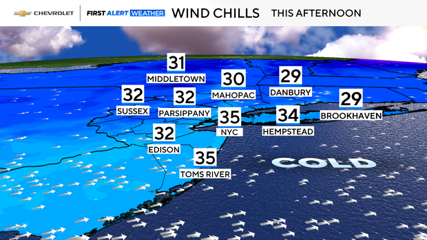
If you're planning a lunch break stroll, keep your coat zipped.
Expect another cold night tonight. It will feel like the 20s to around 30 degrees, so maybe have an extra blanket handy too.
Snow later this week
Tuesday brings a slight improvement with sunny to partly cloudy skies and highs in the mid-40s.
By Wednesday, we're looking at upper 40s to near 50 degrees. But there's a chance of showers, so keep an umbrella close.
The headline for the week is that snow is possible Thursday into Friday.
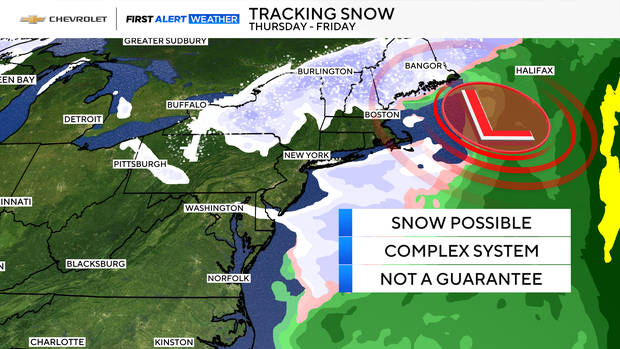
It's too early to pin down any possible totals, but this forecast is definitely one to keep an eye on.