First Alert Weather: Red Alert issued due to possible record-breaking heat
We are in the midst of a heat wave, and Saturday was day five of it. We will continue to add on to the string 90-degree days, with the heatwave not breaking until Tuesday.
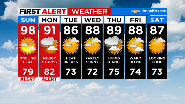
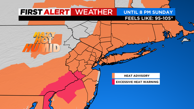
We have issued a Red Alert through Sunday, while the National Weather Service has a Heat Advisory in place through Monday as well.
For Saturday night, skies remain clear, and the humidity will start to increase. 79 will be our low.
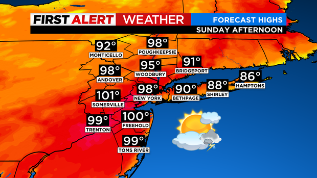
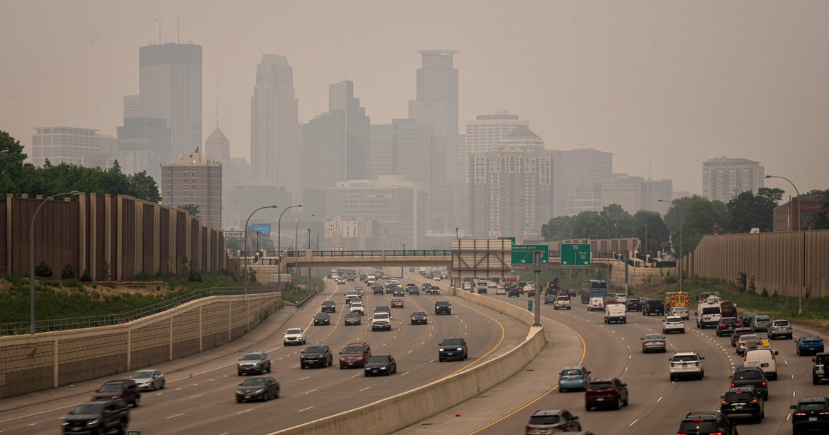
Sunday looks to be an absolutely torrid day. Actual temperatures will range from the upper 90s to low 100s, but elevated levels of humidity will send heat indices into the mid 100s. 98 is the forecasted high for the city. This would break the record of 97 set in 2010, and in fact, many locales across the region are likely to break records as well.
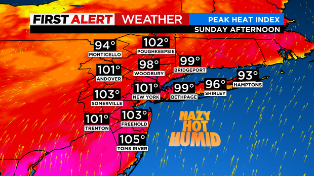
Northern and central parts of New Jersey will be the hottest spots, with many seeing highs top the century mark. Needless to say, dangerous heat will be in place. Overnight lows hovering near 80 or above in the urban centers will only add to the danger of this prolonged heat spell. A stray storm is possible in the afternoon, but it looks like a dry day overall, with lots of sunshine. Sunday night will feature very warm and muggy conditions with a low of only 82.