Wildfire smoke expected to improve around Twin Cities as heat and humidity return


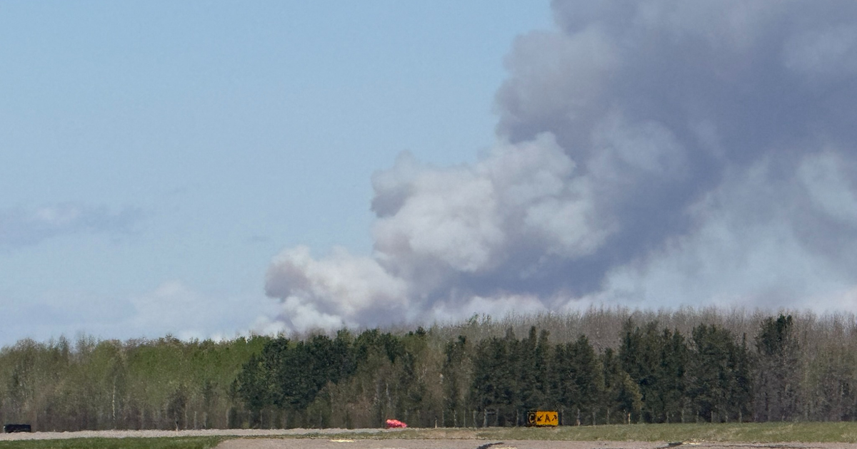
As winds shift back out of the south, the Canadian wildfire smoke blanketing the metro is expected to improve throughout the day on Sunday.
However, some air quality issues will still persist, especially in northern Minnesota. An air quality alert remains in effect for all of Minnesota until 9 a.m. Monday.
Heat and humidity start to rebound statewide Sunday with highs back in the upper 80s.
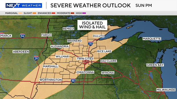
There is a slight chance for severe storms between 4 and 9 p.m. for parts of the state, including the Twin Cities metro.
Monday is our hottest day of the week, with highs near 90. Our next system is set to bring widespread rain and storms later Tuesday.
Wet weather lingers into Wednesday, but it looks like we dry up on Thursday.
There's higher confidence in the temps as we cool down Thursday and Friday, with highs back into the 70s.