Snow, ice and rain wrap up Sunday evening with cooler work week ahead
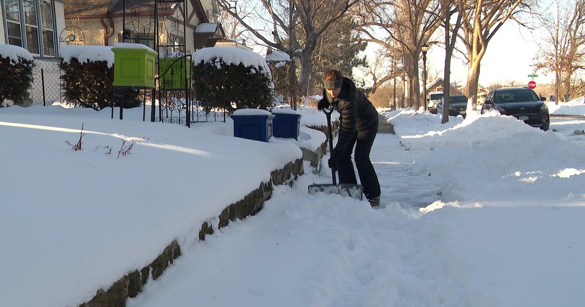
Snow and ice will continue to work across central Minnesota on Sunday with a little light rain farther south.
Roads and untreated surfaces could be slick, especially north of the Twin Cities, where the greatest accumulations will be about 1 to 3 inches of snow and .10 inches of freezing rain.
The precipitation will transition to all snow as it shuts off in the afternoon from northwest to southeast.
Breezy winds will persist into the afternoon with gusts up to 35 mph.
The system looks to exit by the evening as high pressure moves in for Monday.
Temperatures will drop below freezing overnight, so there could be some slick spots on the road during the morning commute.
A new rainfall record was set Saturday in the Twin Cities, with just over 1.5 inches of rain falling, beating the old record of .79 inches in 1998.
Temperatures don't rebound much into the work week, staying in the 30s Sunday and slowly warming into the 40s Monday through Thursday.
The dry break is short-lived with another low set to bring more wind, rain and snow late Tuesday into Wednesday. There is some potential for heavy accumuating snow in the metro that could impact the Tuesday evening commute.
The Twins' home opener looks dry with some sunshine that persists into Friday, with highs back in the 50s to end the week.


