Flood watch continues through much of the day Wednesday in Metro Detroit


A massive weather system that spawned tornadoes in multiple states and resulted in fatalities in Illinois and Indiana continues to affect Metro Detroit on Wednesday with stormwater flooding.
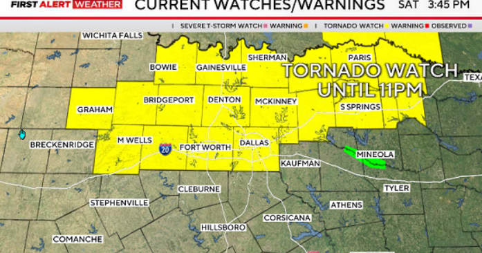
The tornado watches resulting from Tuesday night's storms stretched into Southwest Michigan, an area that was struck by devastating tornadoes last Friday. Metro Detroit was under a severe thunderstorm watch for part of Tuesday night amid those storms.
The Michigan Department of Transportation notes on its MI Drive traffic map that flooding was reported Wednesday morning on Interstate 94 in Wayne County. Other damage reports include DTE noting on its outage map that about 460 customers who lost electricity because of high winds about 3:14 a.m. Wednesday along Frazho Road just south of I-696.
The Great Lakes Water Authority has asked Southeast Michigan residents on its wastewater systems to keep a lookout for stormwater issues.
In the meantime, National Weather Service has issued a flood watch for much of Southern Lower Michigan, from an area of Lansing and Port Huron south to Monroe and Adrian. The flood watch for Lenawee, Livingston, Macomb, Monroe, Oakland, St. Clair, Washtenaw and Wayne counties is expected to remain in effect until 2 p.m. Wednesday as showers and storms continue.
Temperatures will rise to the near low 60s by noon, then fall to around 51 for the remainder of the day, according to the CBS News Detroit weather team.
The weather swings back to wintry conditions on Friday, when accumulating snow is possible in the morning along with strong winds of more than 40 mph.