Snow Coming Tonight And More Saturday
Ready or not it is going to look a lot more like winter around here as we are now tracking two accumulating snow events in the next 3 days!
Watch CBS News
Ready or not it is going to look a lot more like winter around here as we are now tracking two accumulating snow events in the next 3 days!

The one thing we will have in place for this storm unlike just about any other this season will be cold air! No rain or mix this time, it will be all snow for our entire area.
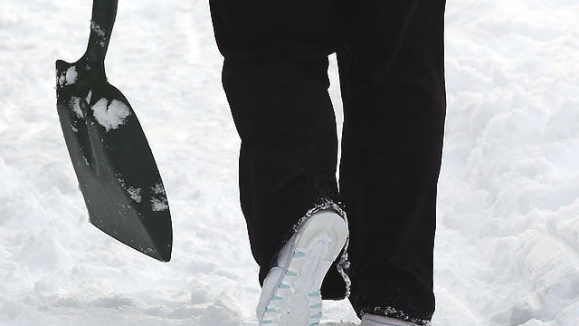
It looks like we may tack on a another inch or two of snow before this week is over.

The lack of snow this season hasn't just been unusual. It has been historic.

Saturday night, Sunday and early Monday will be our coldest stretch so far this season and likely the coldest since last January.

There will be several hazardous weather conditions to deal with late tonight and Thursday morning.

What once looked like an all rain event for many has suddenly become a bit more interesting.

While we certainly can't expect a snowless winter, it appears we may be in for a very manageable 20-30 inches over the next few months, just looking strictly at the numbers.

The mild and peaceful pattern continues and that will likely mean no White Christmas for many in southern New England.

It's payback time for Mother Nature.
It has basically been a snowless season thus far and here we are with just a few days until Christmas.

A quick-moving, but potent storm system will affect our area later today and overnight tonight with heavy rain, wet snow and gusty winds.

Right now, it appears that a light-to-moderate snow accumulation is likely in all of the higher elevations in western Massachusetts, southern Vermont, southwest New Hampshire and northern Worcester County.

When all is said and done, we will be able to say that this was the warmest November in 36 years.
If you plan on traveling for the holiday and haven't left yet, there is good news regarding the weather.

No doubt about it, we have been pretty lucky this November in the weather department.

This is one of those stories that grabs everyone's attention - an asteroid the size of an aircraft carrier is headed toward the Earth.

The main issue this evening (besides traversing through the snow) will be the cold.
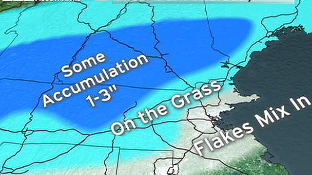
We are forecasting the first snow of the season for many folks in southern New England.

Summer is going to take one final run at New England and the timing couldn't be better.

While many folks begin to wrap up their gardening in the fall, there is still a very important piece of gardening to be done before the ground freezes: planting bulbs.

Irene hit southern New England with Tropical Storm force wind gusts and heavy rain Sunday. Here are the towns hit the hardest.

The final feeder bands of rain from Tropical Storm Irene will spiral into the Boston area in the next couple hours while the steadier, torrential rain exists over northern New England.
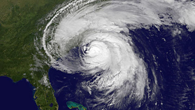
Hurricane Irene has made landfall at 7:30 this morning near Cape Lookout, North Carolina as a category 1 hurricane with max sustained winds of 85 mph.
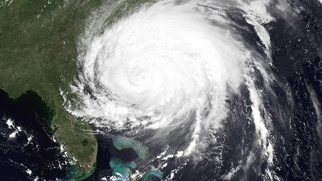
We are becoming more and more confident that New England may be in for its first hurricane in 20 years, since Bob in 1991.