Small chances of rain could cool off North Texas
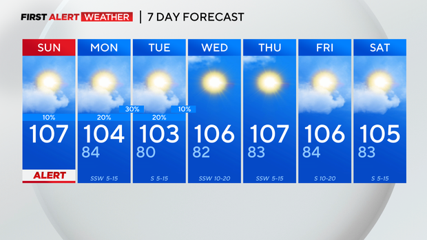
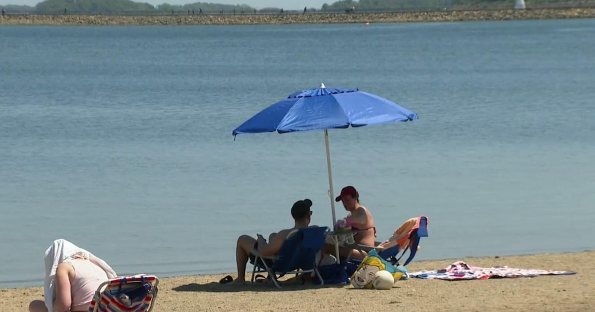
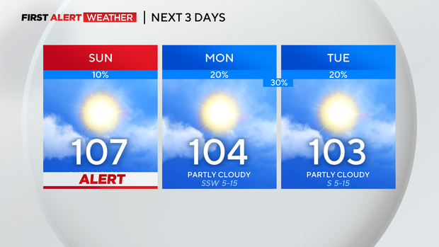
NORTH TEXAS (CBSNewsTexas.com) - The weather alert continues Sunday due to dangerous heat. Temperatures once again top out around 107 degrees in DFW with feels like temperatures up to 112 degrees. A few spotty showers will be around the next three days, although most of us will just see sunshine.
A few morning showers are ongoing for our areas along the Red River. They are the southern fringe of a shower complex moving east through Oklahoma. That complex could push an outflow boundary into North Texas and be the focus for a few afternoon storms, mainly north of I-20.

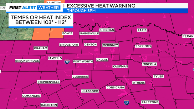
Meanwhile, the excessive heat warning has been extended until 8:00 p.m. Sunday evening, as it will feel like 103-112 degrees. Please continue your heat safety precautions.
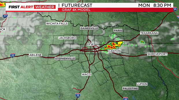
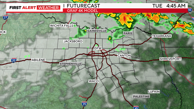
A few showers are possible Monday evening into Tuesday as a weak front nears the Red River. A few more showers are possible Tuesday evening. Most of us will remain dry, especially those south of I-20.
The weak front will increase cloud cover north of I-20, and keep temperatures a few degrees cooler to start the week. Our count of 100 degree days is now up to 28 and they will continue right into next weekend.