North Texas faces threat of large hail, high winds and possible tornadoes. Here's what you need to know


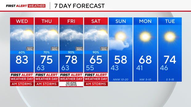
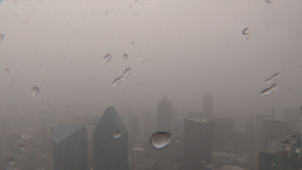
Several First Alert Weather Days are in place for multiple rounds of rain and storms in the forecast. Light to moderate rain fell in parts of the Dallas-Fort Worth metroplex ahead of a cold front that will stall over North Texas the next few days.
The cap held in place most of Wednesday morning, which inhibited widespread storm development.
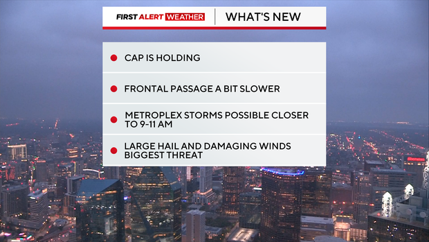
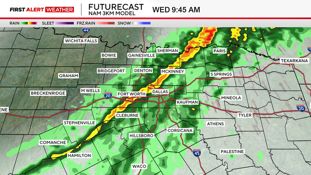
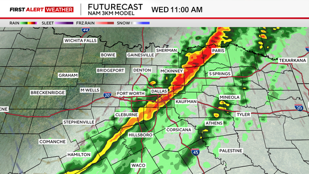
The cold front moved slower into North Texas. But as it moved closer, North Texas saw sub-severe showers and storms along the boundary Wednesday morning.
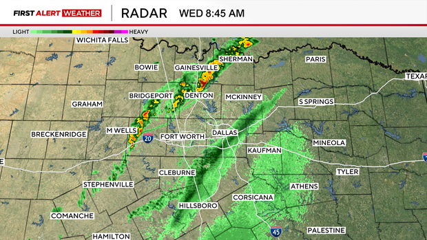
A very weak line of storms will move through parts of the DFW between 9 a.m. and 11 a.m. Wednesday. There's a small chance of some hail and damaging wind gusts.
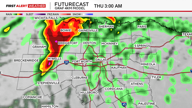
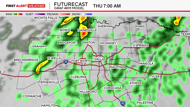
Another round of rain and storms is expected overnight into Thursday morning -- prompting a First Alert Weather Day.
In the forecast, the same front will stall out. It's going to travel around North Texas over the next few days, bringing rain and storms to round out the week. For the weekend, temperatures will continue to cool down from an 83° Wednesday to mid-60s by Saturday.
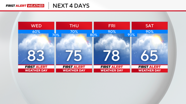
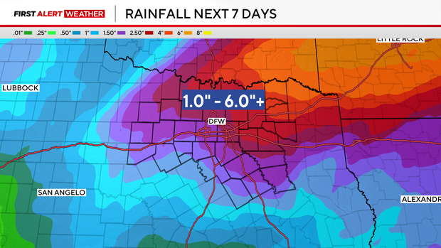
Rounds of rain and some strong to severe storms move in on Friday, increase the chance for flooding this week. Some spots of North Texas could see as much as 6" of rain.
Once the rain ends, a cooler air mass will be in place. Temperatures on Sunday will only be in the 50s.