Hot and dry weather will be sticking around the Pittsburgh area this week
Hot and dry weather will be sticking around this week for the Pittsburgh area.
FIRST ALERT: None
AWARE: Hot and Dry all week!
Dry air is in place with high pressure situated once again that will block out clouds. We call this a "Rex Block".
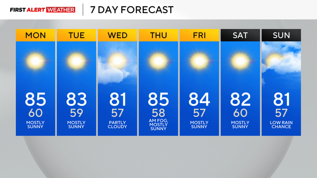
It'll be a clear night with lows near normal in the mid to upper 50s. It's going to feel like summer all this week!
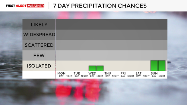
Today will be our 9th dry day in a row and it looks like we could have 12 in a row with the next chance of isolated thunderstorms being Saturday.
The most recent long dry stretch we had was at the end of July through the beginning of August of 15 days.
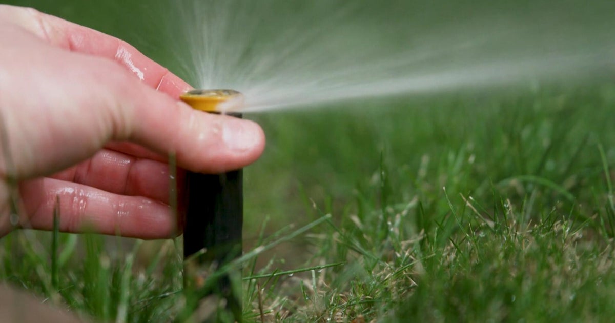
Our drought conditions are expected to worsen, and more areas could be under severe drought when the new map is issued on Thursday.
WEATHER LINKS:
Current Conditions | School Closings & Delays | Submit Your Weather Photos
Parts of Beaver, Allegheny and Washington County are seeing the worst of it right now.
For the month we are over 1" below normal for precipitation and for the year we are over 3" below normal.
Our temperatures are about 5 degrees below average for this month, and we should see that number go down as our temperatures will be above normal all week in the 80s.
Above normal temperatures are expected to stick around for the start of fall which the Autumnal Equinox is on Monday, September 22 at 2:19 p.m.
Code orange air quality alert issued for Thursday
A Code Orange Air Quality Action Day has been issued for Allegheny, Butler, Beaver, Armstrong, Washington, Westmoreland, and Fayette counties on Thursday.
