Wednesday will be one of the hottest days of the year in Pittsburgh | First Alert Weather Day

Hot is hot, right?
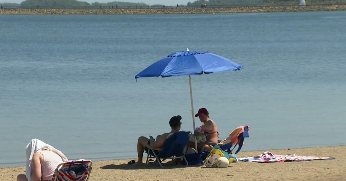
Well, sort of. Today will see a high temperature that will be hotter than yesterday's 91°. I have Pittsburgh seeing a high of 93°. The hottest of the year so far happened on the 24th of last month when we hit 94°. That day was bookended by two 93° days that are obviously the second and third hottest days of the year so far.
WEATHER LINKS:
Current Conditions | School Closings & Delays | Submit Your Weather Photos
Last year, our hottest day of the year was also 94°. I say all that before telling you that I am forecasting a high temperature today of 93°. It's going to be a hot one. So why did I say that hot isn't necessarily hot? Because when it comes to your perception of what is hot and what isn't, humidity levels come into play in a key way.

Humidity is just a fancy word for how much moisture is in the air. We have several ways of looking at humidity, including relative humidity (always goes up at the coolest time of the day) and absolute humidity (stays fairly steady as it looks at water vapor value). The dew point is also a way we look at humidity levels. Dew points in the 70s are in the extreme range for us here in Pennsylvania. Dew points in the 60s are high, but you'll notice a difference when dew points fall to the 60s from the 70s, and that is what is going to happen today.
Yes, our temperatures will go up, but our humidity levels will go down enough that if you are stuck outside, you will notice the difference. Air that has higher humidity levels also takes more energy to warm than 'drier' air. That's why I am going so aggressive on high temperatures today, because the air will also be drier.
So putting it all together, today will be hotter but will probably feel better when compared to yesterday. Still, we won't get any real relief from the heat until tomorrow when a cold front slides through.
Let's get to your forecast, highs today should hit the mid to upper 90s. Morning temperatures will be in the mid to low 70s, with noon temperatures in the upper 80s. Winds today will be light and variable. Skies should be sunny start to finish for most.

There is a small isolated storm chance for places southeast of Pittsburgh. I will keep coverage isolated in the Laurel Highlands and south of I-70. I've bumped up high temperatures on Thursday due to the timing of the rain.
I now have highs in the mid-80s for Thursday. It appears rain will be scattered, with the best chance for rain happening late in the afternoon to the evening as the cool front slides through. There will be big differences in highs on Thursday due to the timing of rain, with places to the north of Pittsburgh likely seeing highs in the 70s. And places south of I-70 are seeing highs near 90 degrees.
The timing of the rain and high temperatures will also limit (or not limit) stormy weather on Thursday evening. Right now, we are not included on the day's severe weather risk map. That could change. What will certainly not change is the wonderful weather that will be in place this weekend.
Highs will hover near 80 degrees with low humidity levels.
The weekend will be dry.

Stay up to date with the KDKA Mobile App – which you can download here!