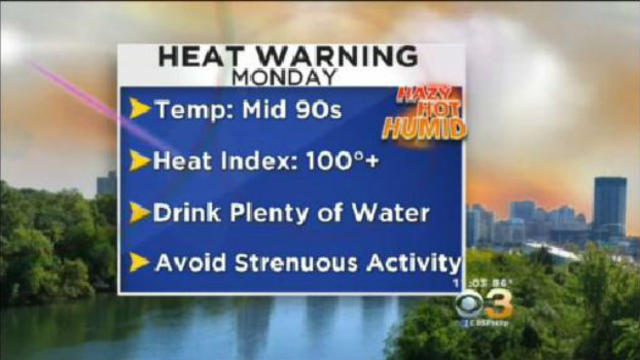
Excessive Heat Warning Continues Across Philadelphia Region
Hazy, hot and humid conditions continue throughout the Philadelphia region.
Watch CBS News
Hazy, hot and humid conditions continue throughout the Philadelphia region.
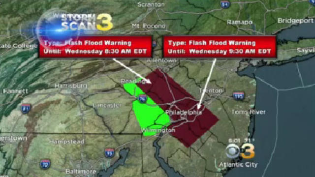
The National Weather Service has issued a flash flood warning for much of the area Wednesday morning.
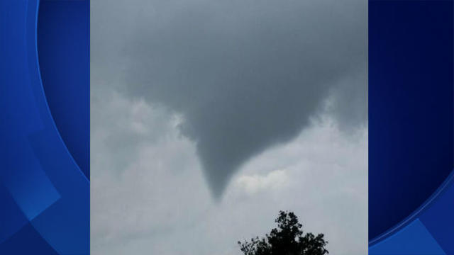
The National Weather Service in Mount Holly has confirmed a tornado near Honey Brook in Chester County on Tuesday.
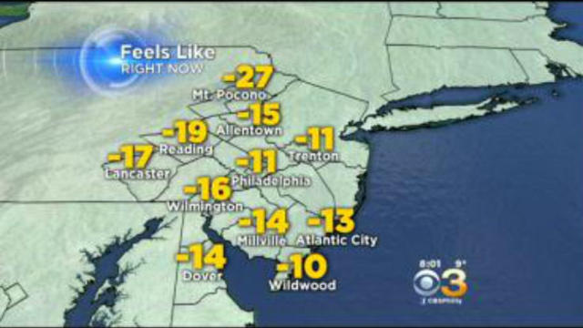
The winter storm that gave much of Pennsylvania and New Jersey a fresh coat of snow is now bringing bone-chilling temperatures and high winds.
He says computer models provided conflicting guidance and the area in which the storm developed made a small change that had big implications.
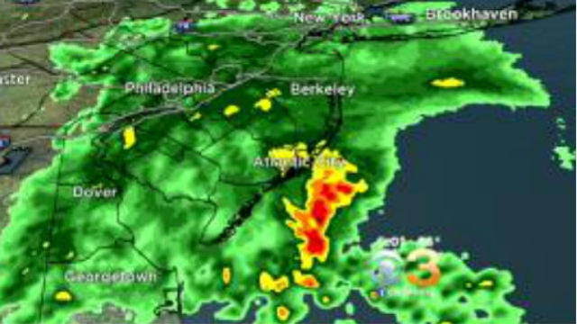
The NWS cautions drivers to avoid areas where the water covers the roadway. The water might be deeper than you think, and it might be deep enough that a car cannot cross safely.
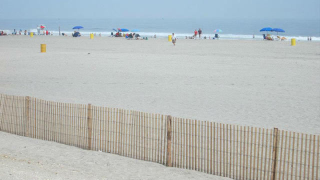
A woman who went swimming about an hour after life guards went off duty and believed to have drowned last night in Atlantic City is alive, according to police.

Officials say the river was 65-percent blocked by 1-2 foot chunks of ice on Wednesday, leading to a seven-foot rise in the river level.

Sub-zero temperatures have led to a new weather record in Atlantic City, just two weeks after residents there enjoyed record-setting temperatures in the high 60s during a brief December heat wave.

Based on a review of forecasts from the National Weather Service, the Montgomery County Commissioners have declared a Cold Blue Cold Weather Emergency for Montgomery County.

The National Weather Service says the New Jersey Department of Environmental Protection has issued a Code Orange Air Quality Alert for multiple locations.

Rain, rain, go away!! Forecasters say this June has been the wettest on record for the Philadelphia area.

A NWS meteorologist says the tornado has been classified as an EF0, the lowest level tornado.
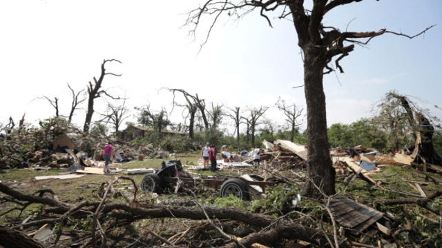
The storm was on the ground for about 20 miles on Monday, and at least 24 people have been killed, including seven children.
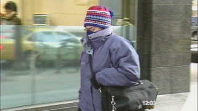
We've been hearing it a lot this week, and with good reason: the term "cold snap."

The National Weather Service in our area issued a very blunt, very strongly worded statement to the residents of the region. The tone is reminiscent of the statement that the New Orleans NWS office issued in the lead-up to Katrina.

A tornado watch is in effect for Delaware and New Jersey as a strong line of storms bring drenching rain and strong winds, while in Pennsylvania, flood warnings and wind advisories linger.
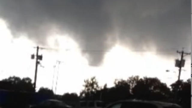
The National Weather Service has determined a tornado struck a southern New Jersey community Tuesday.
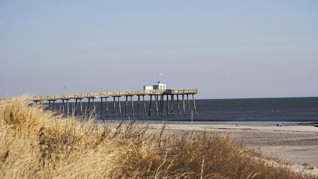
The National Weather Service says a "high rip current risk" is in effect until 9 p.m. Saturday night for shore towns in New Jersey.

The city's Heatline (215-765-9040) will be in operation from noon on Wednesday until midnight, and from 8:30 a.m. until midnight on Thursday.

The city of Philadelphia will be under a heat warning Monday and Tuesday.

When it's all tallied up, we'll have gotten as much as three inches of rain this weekend, but is it enough to help solve our water shortage?

"We're looking at tides that are only going to be just a couple of inches away from what we call a minor tidal flooding benchmark. It's a benchmark where water will lap onto nearby roadways," meteorologist Jim Hayes says.

Parts of northeastern Pennsylvania already devastated by massive flooding from two big storms have been hit with even more rain, leading to flooding of local streams and roadways and prompting a flood warning after water spilled over a local dam.

The National Weather Service declared a flood watch Tuesday for much of Pennsylvania as heavy rainfall from the remnants of Tropical Storm Lee moved slowly up the East Coast.