Light Snow Accumulation Expected Saturday Afternoon
New York City could break the record for its snowiest month ever if Saturday's scattered snow showers drop more than 9/10s of an inch.
Watch CBS News
New York City could break the record for its snowiest month ever if Saturday's scattered snow showers drop more than 9/10s of an inch.
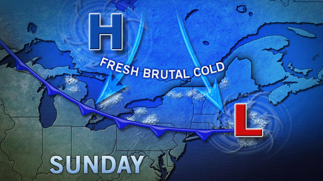
A frigid arctic wind is keeping temperatures anywhere from below 0 to single digits and into the teens as the Tri-State bundles up for the cold.

The high temperature in the Tri-State hit a high of only 22 degrees—16 degrees below average. AccuWeather said temperatures could dip to as low as 9 degrees in some suburbs of the city Saturday night.

There's nothing warm about Sunday's forecast. Other than sunny, the Tri-State will be kept cool thanks to wind gusts of up to 26 mph and freezing temperatures all day long. The high will be 33 degrees and the low will be 24 degrees.

AccuWeather Meteorologist John Feerick said it appears the snow will begin Tuesday afternoon, continue through Tuesday night and taper off early in the day on Wednesday.

Tri-State Area residents will be able to get by without the heavy coats at temps hit the 40s and 50s throughout the area. New York City will see a high of 49 degrees and a low of 42—both above average.

Tri-State residents have much to celebrate this New Year's Eve and Day as temperatures will be quite mild with a high of 45 degrees.
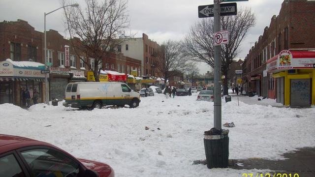
On the day after the day after, New Yorkers were left wondering what happened. There are still many streets that haven't seen a plow yet.
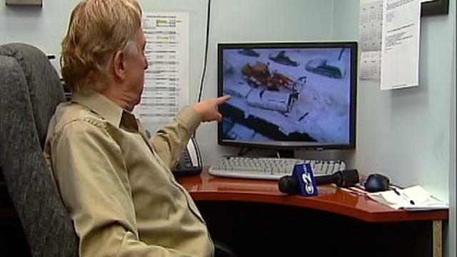
On the street in Brooklyn Heights a sanitation crew struggled to pull out one of its snow removal vehicles. The tug of war against the snow ended with the front end loader smashing into a parked SUV.
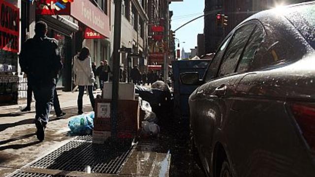
Sunday morning may have been a little warmer than the past few days, but it's still colder than usual, CBS 2's John Marshall reports.

An early winter snow storm may have missed the Tri-State Area, but that doesn't mean it won't be cold here. CBS 2's John Marshall reports.
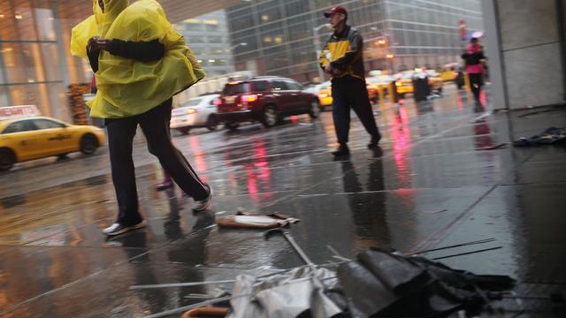
As the rain continues to plague the tri-state area on Sunday, a break is expected around mid-day before the front brings another round of rain in the late afternoon, CBS 2's John Marshall reports.

Saturday started with warm temperatures not seen all week, and those temps are expected to stay throughout the weekend, CBS 2's John Marshall reports.

The tri-state area won't see any snow just yet, unlike the upstate, but it will still be a cold Sunday.
The freezes temperatures on Saturday morning will only warm up to a high of 41 degrees throughout the day, reports CBS 2's John Marshall.

The tri-state region can look forward to a sunny football Sunday, but the temperature may keep people inside as it hovers around 40 degrees throughout the day.

CBS 2's John Marshall says your wonderful weather weekend continues on Sunday with above average temperatures and sunny skies.

CBS 2 Meteorologist John Marshall tells us to expect plenty of sunshine and "absolutely gorgeous weather" for the weekend.



The wind isn't done rolling through the tri-state area just yet.
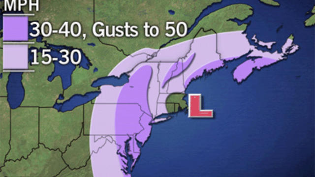
While the impending storm would not be as bad as the last one, strong winds and about an inch of rain are expected to hit the area Thursday into Friday night.