Who got the most rain during the nor'easter? Check out these storm totals and Monday's forecast
The nor'easter that has been bringing bands of rain and heavy winds to New York, New Jersey and the Tri-State Area is finally clearing out.
The storm brought some signifcant rain totals to parts of our area during the past 72 hours.
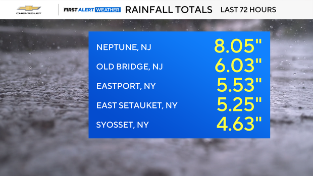
- Neptune, N.J. registered 8.05 inches
- Old Bridge, N.J. saw 6.03 inches
- Eastport, N.Y. got 5.53 inches
- East Setauket, N.Y. got 5.25 inches
- Central Park saw 2.86 inches
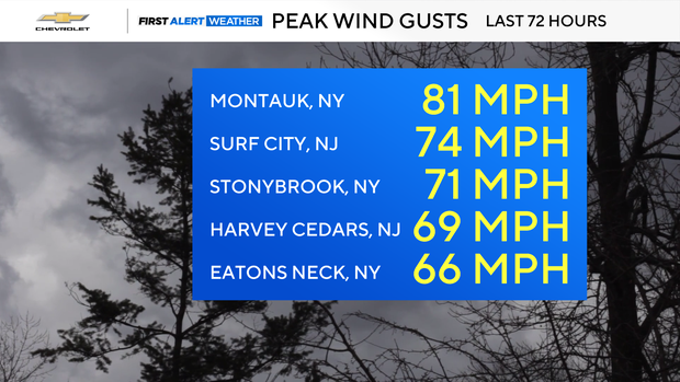
There were also some intense wind gusts.
- Montauk, N.Y. saw gusts of 81 mph
- Surf City, N.J. saw gusts of 74 mph
- Stony Brook, N.Y. saw gusts of 71 mph
- Harvey Cedars, N.J. had gusts of 69 mph
- Eatons Neck, N.Y. had 66 mph wind gusts
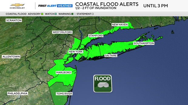
A Coastal Flood Advisory remained in effect through 3 p.m. Monday, although only minor to locally moderate flooding was expected.
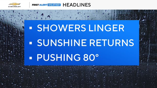
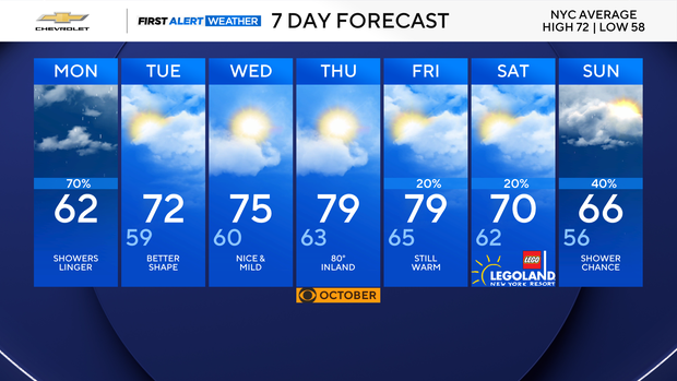
We'll have leftover showers and breezy conditions throughout the day, but it will be brighter and warmer as the week progresses.
Monday highs will be in the upper 50s to around 60 degrees.
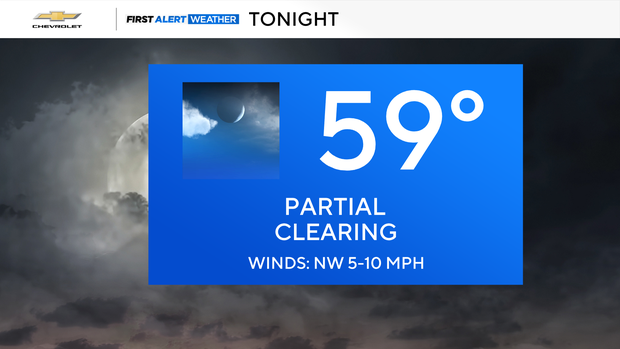
Monday night, we'll continue to see some showers, but mostly north and east of New York City. Highs will be in the low 60s.
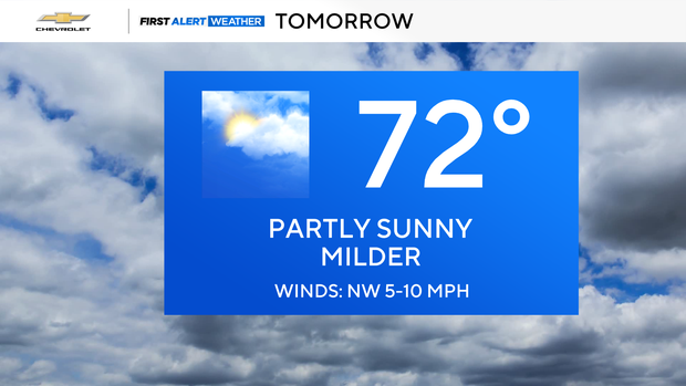
Tuesday will bring us a partly sunny day, with highs in the low 70s.
Wednesday will be partly cloudy, with highs in the mid-70s.