First Alert Weather: CBS2's 3/11 Friday morning forecast
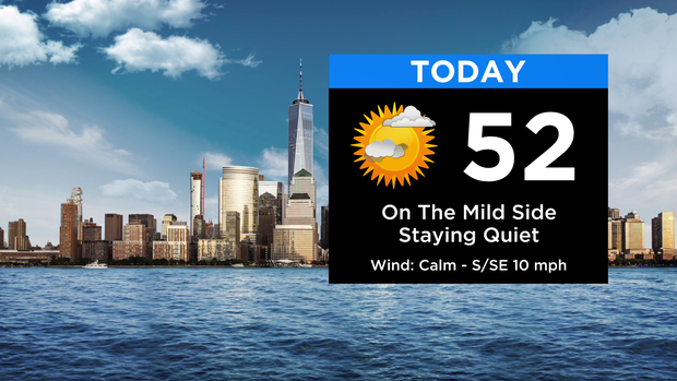
Today remains quiet with a mix of sun and clouds and highs in the low 50s. Some more high clouds will start streaming in toward evening. Tonight brings increasing clouds with some showers moving into the area from the south after midnight. Temps won't drop off much with lows in the mid 40s.
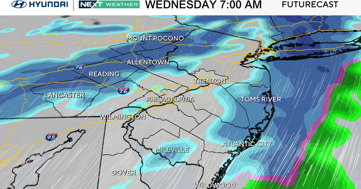
Rain will be moving through during the morning Saturday with some heavy pockets, perhaps even a rumble of thunder. Temps in the city and along the coast will start off well into the 40s. At the same time, colder air will be moving into the far NW suburbs. As we go through the morning and midday hours, precip gradually changes from rain to snow, west to east, as the colder air filters in. For the city, changeover occurs sometime in the 10a-12p timeframe.
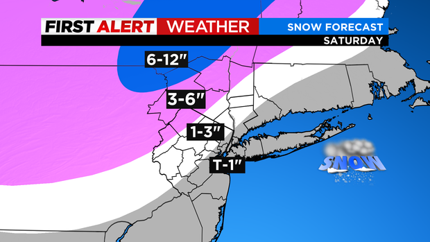
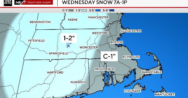
Projected snowfall amounts in and around the city will be a coating to 1"; then 1-3" across our immediate northern/northwest suburbs; 3-6" farther northwest (Sussex, Orange); and finally, the most snow (and where it's just about an all-snow event) will occur far N&W (Sullivan, Ulster, Poconos/Catskills) where 6"+ is likely and a Winter Storm Warning has been issued. By the time the changeover occurs closer to the city, the heaviest precip will be exiting, hence much lower totals expected toward the coast. Snow exits west to east through the afternoon.
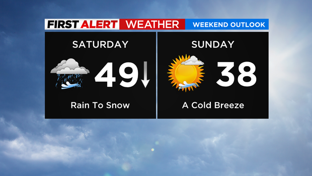
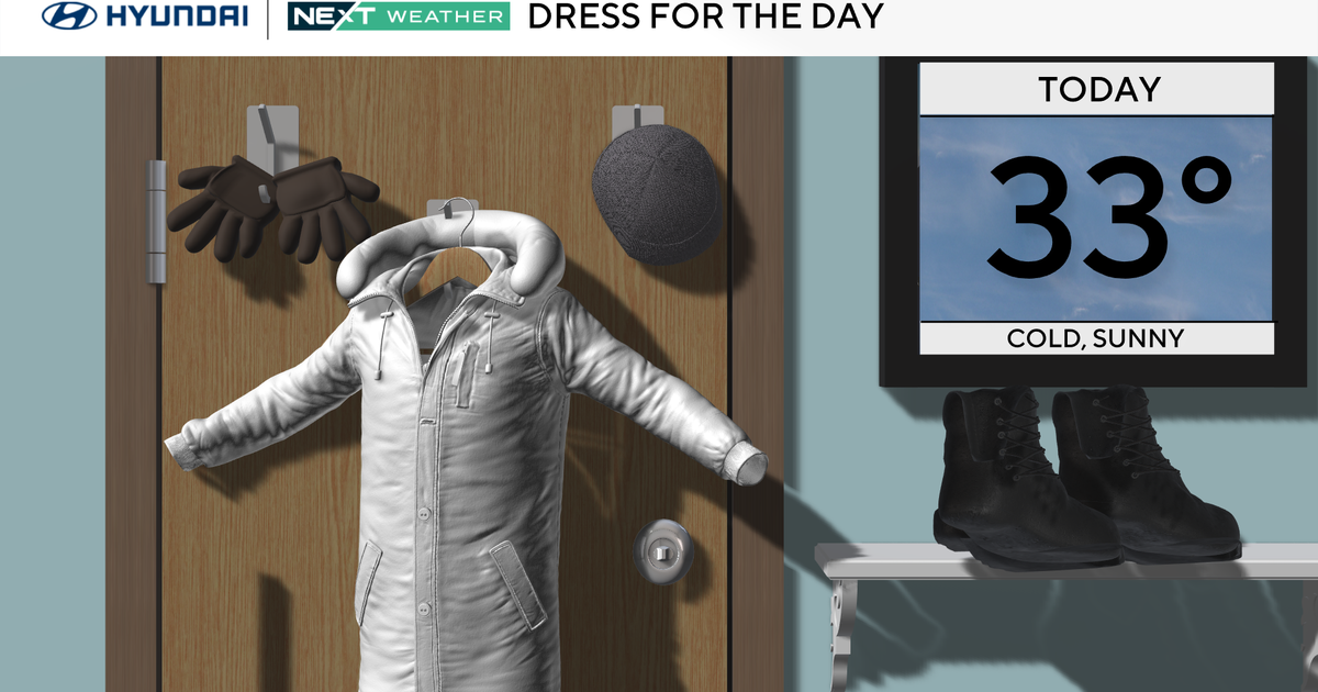
The other big story will be the dramatic temperature drop (40s to nearly 50 Sat. AM, 30s Sat. PM, feels like teens and single digits Sat. night) and gusty winds developing (35-45+ mph Sat. afternoon through Sat. night). Any wet/slushy/untreated roadways will freeze up Sat. night.
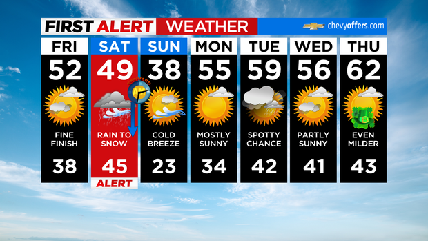
Sunday is a better-looking day, but cold and breezy with highs in the 30s and wind chills in the 20s. Temps moderate into next week.