12/27 CBS2 Sunday Afternoon Weather Headlines
By Matt DeLucia
CBS2 Meteorologist/Weather Producer

It's been a temperature roller coaster the past several days and that trend is going to continue. Another record breaking day is likely as we climb into the 60s! The daily record for Central Park is 63 set back in 1949, and we're going for 65. Depending on how much sun peaks through, it's definitely not out of the question to see the 70 mark in the southern parts of our viewing area!
A cold front moves through this evening, along with a few showers. Behind the front, a true reality check! A seasonable chill tomorrow with highs only in the 30s and 40s... 44 in the city. Sun and clouds early will give way to cloudy skies Monday afternoon ahead of what is amazingly our FIRST winter storm of the season.
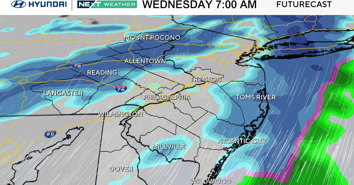
Late Monday night into the early Tuesday morning hours, a wintry mix moves in (mainly north and west). It's not out of the question that even the city sees some flakes before a quick changeover to all rain by sunrise. The far N&W suburbs keep the icy mix a little longer, but with an already warm surface, any accumulations will be minimal. Nonetheless, some icy spots early.
Everyone turns over to rain by late Tuesday morning as temps climb into the 40s... hitting 50 in NYC. The unsettled weather sticks around Wednesday and Thursday, with another round of showers. The good news its looking dry by the time 2015 ends!
Check back in soon for the latest on our Mon/Tue storm!