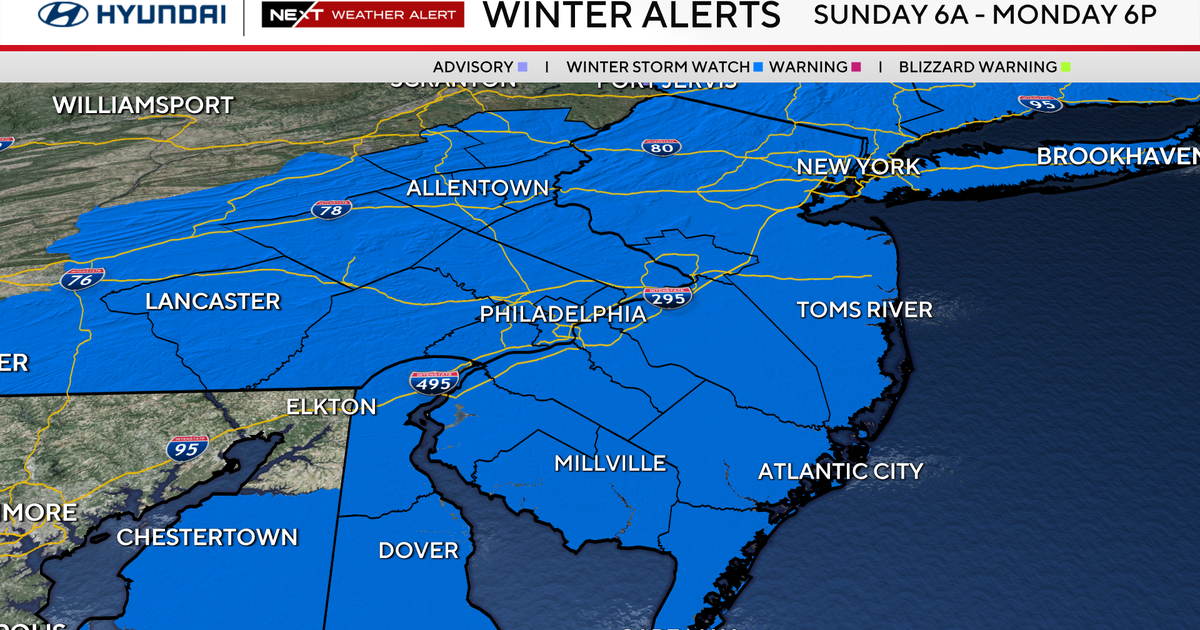
2/5 CBS2 Sunday Evening Weather Headlines
By Mark McIntyre,
CBS2 Meteorologist/Weather Producer
As expected it was a warmer but cloudier day across the region... and there were even a few snowflakes for some! Nothing significant fell, but it did look like winter for some. Expect clearing skies tonight as a cold front moves through with temps dropping into the 20s and 30s.
Tomorrow will be quite a nice start to the workweek with plentiful sunshine and temps in the upper 30s and low 40s. Some clouds move in late at night in advance of our messy mid-week stretch.
Tuesday will start off with a chance for a wintry mix north and west, but with soaking rain for most. It'll be quite warm with temps nearing 50 degrees late in the day. Some rumbles of thunder are even possible as the storm gets more powerful. Temps Wednesday could peak at 60 degrees before the cold front rushes through! Behind it, we'll have colder temps and blustery winds.
Stay tuned for the latest and have a great night!