How much snow fell in Minnesota's early April snowstorm? Here's a look at totals.
Minnesota just can't seem to let winter go.
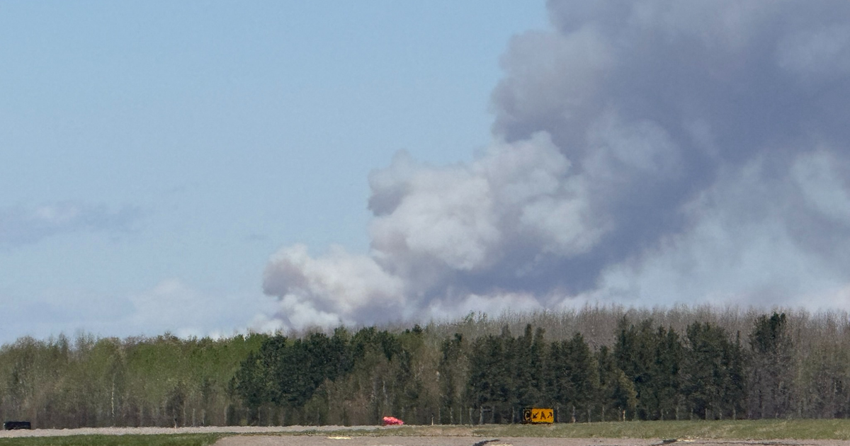
An early April snowstorm brought snow to parts of the state over the last couple of days, leading to substantial impacts on road conditions and prompting schools to delay or cancel classes.
Some western and northern Minnesota areas got walloped by the storm, with some cities seeing over 10 inches of snow.
So, let's take a look at snowfall totals across the state since Tuesday morning, including the areas that got hit the hardest.
According to the National Weather Service, the largest snowfall total reported in the state was just over 15 inches in Hovland, which is in northeastern Minnesota along the North Shore. Nearby Lutsen came in second place with just over 13 inches.
The third-highest snowfall total was recorded in western Minnesota, with Garfield seeing 12.5 inches of snow.
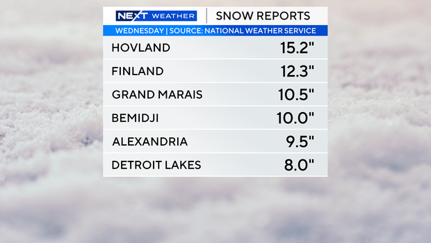
Here are snowfall totals for other notable cities:
- Twin Cities (MSP Airport): 2.1 inches
- Brainerd: 8 inches
- Wadena: 10.3 inches
- Duluth: 2.5 inches
- St. Cloud: 2 inches
- Rochester: 2.5 inches
- Mankato: 2 inches
Much of the snow may not last for long as higher temperatures are expected Friday.
More rain and snow are possible on Saturday as temperatures cool, then Sunday brings more sunshine and a short-lived warm-up. Highs are set to drop on Monday before beginning to climb again by the middle of next week.