Stray shower chance remains Friday in Twin Cities
A weak boundary remains draped across Minnesota, which has a few showers north and east of the Twin Cities early Friday afternoon.
These drift east, but more isolated showers are expected to develop into midday. Most of these miss the metro and stay in central Minnesota, with a partly to mostly cloudy sky.
Afternoon highs stay seasonable in the upper 70s on Friday through the weekend. That front drifts a bit farther south and west this weekend with high pressure to the east keeping the metro mainly dry through Labor Day.
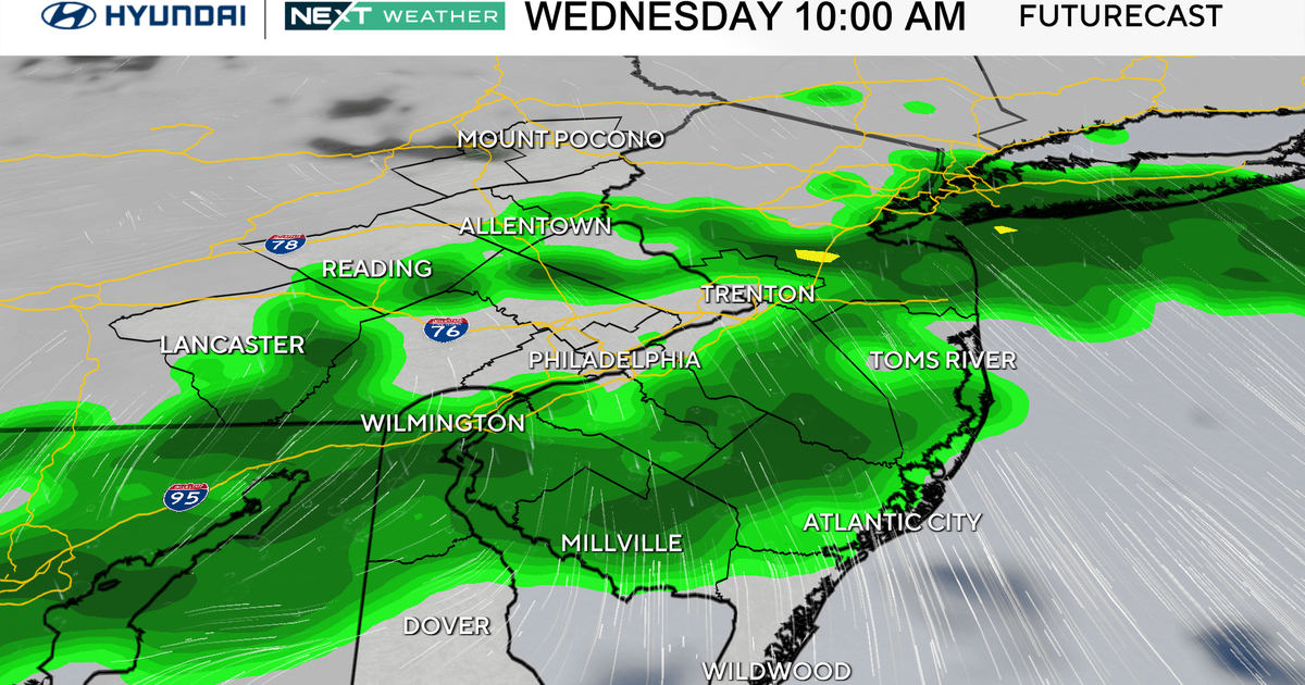
The next notable weather-maker will be a cold front that passes Tuesday. This will bring widespread showers and storms late Tuesday into early Wednesday, along with gusty winds.
Behind the boundary, northwest winds pick up and temperatures drop into the 60s for highs Wednesday and beyond, with lows in the upper 40s.


