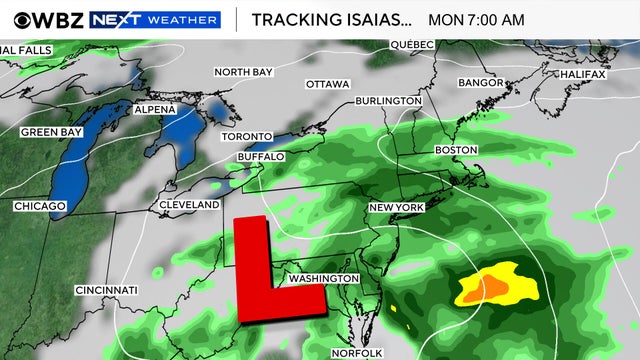
'Sizeable Storm' Possible Friday
There are signs that we could be in for a sizeable storm Friday. The problem is, many weather models are still having a tough time putting all the pieces together.
Watch CBS News
There are signs that we could be in for a sizeable storm Friday. The problem is, many weather models are still having a tough time putting all the pieces together.
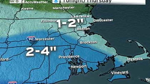
Most of us will wake up to an average of one-to-three inches of snow on Thursday morning. It will be more of a nuisance than anything else.
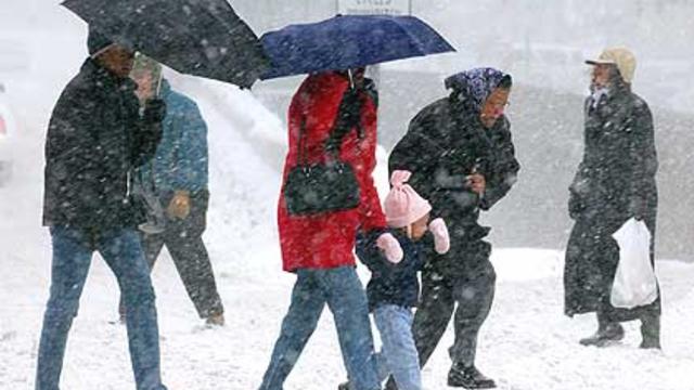
It's ironic that as we finally welcome spring that we revert back to a pattern similar to that one which caused us so much angst in mid-winter.

Just when you thought we were turning the corner to warmer days, Mother Nature is reminding us that in New England, it 'aint over 'til it's over.

A Flood Watch has been issued for the northern and western suburbs of Boston for minor river flooding on Friday.

Despite all of the recent rain, there is no major flooding expected except for some of the usual, flood prone areas.

A flood watch is in effect for the entire area through Monday morning, as we are looking at about 1-1.5" of rain in all of Central and Eastern Mass.

Big changes in the local weather pattern are on the way over the next few days. It truly is classic March weather in New England.

Winter's last gasp? The last three years we have received our last measureable snowfall on March 1st, March 9th, and March 1st respectively.
With the weekend snow storm now over, it's time to look at the next storm that could be affecting the area on Monday.
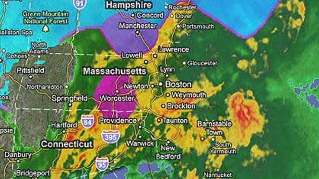
A tale of two different worlds right now - very heavy rain falling in most of Massachusetts and just across the border, heavy, wet snow in all of New Hampshire
Very heavy rain, now centered in the Midwest has a bead on New England and by this time tomorrow it will be absolutely pouring.
An active weather pattern is setting up over the next few weeks and it looks like March may come in like a lion.
The heaviest snow will be to our south and west Sunday night and early Monday, so one to three inches should cover it.

It's not a heat wave, but the "feels-like" index when you walk outside certainly conjures up thoughts of spring.

Our February thaw has arrived! Over the next three days we will see the most substantial snow melting thus far.

Good news for once! Weather models continue to show a warm solution for Saturday afternoon and night. In fact I now believe there will be very little if any snow accumulation for Southern New England.

The midday models are in for Saturday's storm. Temperatures looking just a bit too warm for much snow with this one.
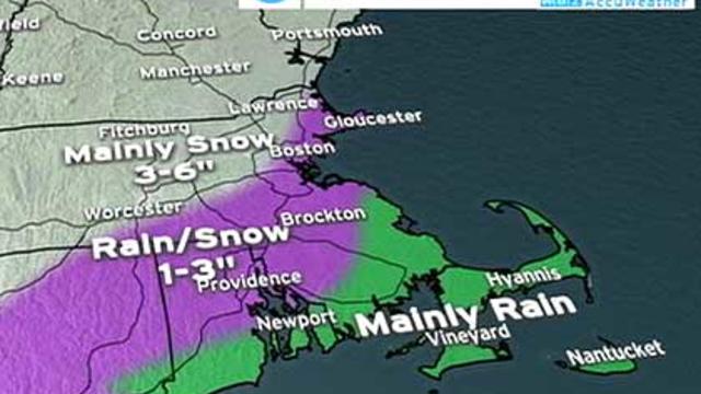
So what's the story with the next potential storm on Saturday?

The situation remains very serious with reports of numerous roof failures and collapses coming in, most of them focused in southeastern Massachusetts, Rhode Island and Connecticut.

Storm number one is winding down; light to moderate pockets still exist but will become more scattered and lighter through the next few hours.

The mid-day models are in and show a warmer solution for Wednesday's storm.

Two storms are headed straight for New England this week.

This storm is becoming very powerful.

Snow is coming Wednesday and it may start lightly during the afternoon commute.