Underway...
The wind has picked up and rain and snow showers have begun to rotate in off the water...while the heaviest and steadiest of the precip is still hours away, thin coatings will accumulate tonight mostly decks and cartops, most roads stay wet. The is a large slow moving storm but thankfully the worst of it will stay offshore to our south avoiding massive problems here in New England. With that said this will still be one of the worst storms of the Winter, especially for the coastline.
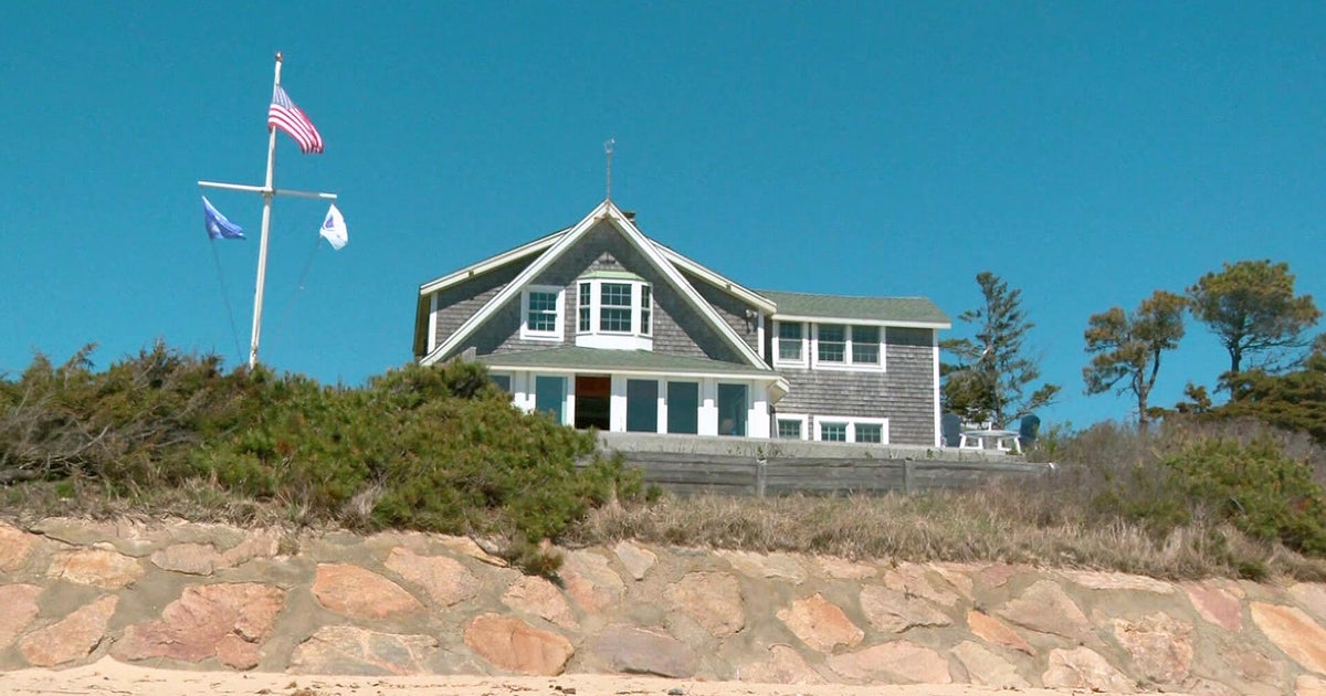
Two days of water getting pushed up on beaches and shoreline, two days of pounding waves as high as 25 feet and two days of high tides will leave a mark. The beach erosion will be extreme...mostly to the east facing beaches...many will be reconfigured and reshaped, again. It's really sad what this Winter has done to our beaches, many won't look the same this coming Summer. With a persistent ENE wind, a storm surge on top of an already high tide will create splashover and some shore roads will become impassable due to high water and debris. The tides we are focused on are the Thursday 7AM and PM high tides and the Friday 8AM high tide...all will be troublesome.
The snowtotals have always been the toughest part of this storm...I see the snow from this storm as very manageable. First of all, it's not all coming in one solid thumping...it's spread out over two plus days. Secondly, the snow won't accumulate on roads very well making driving much easier than with most Winter storms. Driving won't be ideal however, visibility will be very poor at times tonight through Friday morning with periods of heavy wet snow. While accumulation won't be efficient with the storm, it will be most efficient tomorrow night into Friday morning. Temps will drop back a degree or two after dark and that will make a huge difference...roads will become snow covered tomorrow night and that will make Friday morning's commute the worst of the bunch. The good news is that by mid-morning on Friday roads will start dramatically improving and even though there will still be leftover rain and snow coming down through most of the day I suspect we will be able to see the sun disk through the clouds and that will very quickly start melting snow and turn any snow covered roads from white to wet. Snow accumulations will range from 4-8" for most...the 8" will come in the hills to the west...the 4" closer to the Coast...the immediate coast will pick up 2-4 slushy inches with 2" or less for SE MA. Again, by midday Friday it won't look that bad with melting and compacting.
The wind will be fierce and unrelenting...we are already seeing gusts over 40 mph and will continue to now through deep into Friday night. With heavy wet snow clinging to trees and powerlines, power outages are likely in some communities.
These next couple of days will be rough but the weekend will be a sweet reward...sunshine with highs near 50!
