The ferocity of Hurricane Otis stunned hurricane experts and defied forecast models. Here's why.

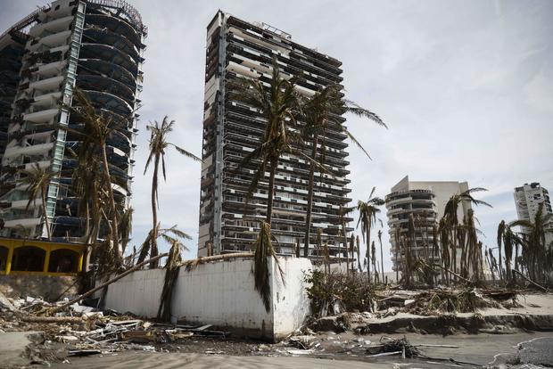
Shattered windows. Mud-filled streets. A desperate search for the missing. These are the impacts of one of the most catastrophic storms to hit Acapulco in decades.
The fury and quick strengthening of Hurricane Otis surprised both forecasters and hurricane experts.
Wind speeds jumped by 115 mph in a single day. It normally takes much longer for that kind of increase. Otis' intensification rate is the second fastest recorded in modern times, the National Hurricane Center reported. The change prompted the Center to describe the disaster as a "nightmare scenario."
This type of explosive growth is a phenomenon known as rapid intensification. It is becoming more common in some areas now, according to a recent study published in Scientific Reports.
"What these analyses show is that, over time there are ... increased chances of storms intensifying most quickly in regions that include the tropical eastern Atlantic, a region along the U.S. East Coast, and the southern Caribbean Sea," said Andra J. Garner, Ph.D., who wrote the study.
The research points to a warming planet as the cause behind stronger storms. 2023 saw abnormally high surface temperatures in the ocean. Otis, for example, passed through 88-degree surface waters before slamming into Mexico. Similarly, Hurricane Idalia rapidly intensified from a Category 1 hurricane to a Category 4 storm before hitting the Florida coast in August.
"We would not see as strong of hurricanes if we didn't have the warm ocean and Caribbean Sea and Gulf of Mexico," said Richard Knabb, a meteorologist at The Weather Channel and the former director of the National Hurricane Center. "That is the fuel."
Now, NOAA is sending drones in the air, on the water and below the ocean's surface to better predict when conditions could cause rapid intensification.
"Think of the ocean as the gas tank for the hurricane that is the engine," said Knabb. "The more high-octane fuel you give it, the more it is able to accelerate in terms of its maximum speed, and the fuel they use is the warm waters of the ocean. The hurricane converts the energy in the ocean into low pressure that generates all the wind."
Researchers at NOAA, the National Oceanic and Atmospheric Administration, are also using artificial intelligence, or AI, to analyze that data quickly.
"Artificial intelligence is being examined to sift through all of that information coming from forecast models, helping us make more informed human forecasts based on all that uncertainty," said Knabb. "Much of the country is vulnerable to the inland impacts, and that can mean inland flooding that could inundate entire communities like we saw with Ida. That can mean strong winds like we saw in the state of Ohio after Hurricane Ike came ashore in the Gulf of Mexico in 2008, and look at what is happening in inland areas in California with Hurricane Hilary earlier this year. "
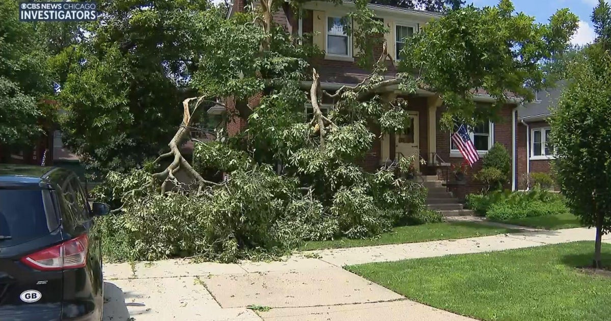
These advancements in technology couldn't prepare the people of Acapulco for what was to come from Otis. Two days after landfall, thousands remained without power or communication. The outages and devastated infrastructure have so far prevented authorities from being able to survey the full extent of the damage.
Meteorologists are now keeping a close eye on the ocean to see what comes next. The Atlantic hurricane season doesn't end until Nov. 30.