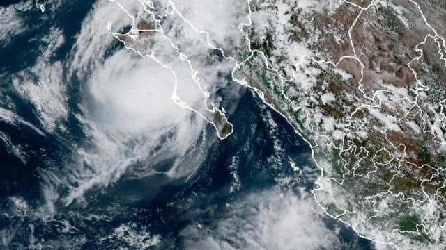
Hurricane Polo makes landfall in Mexico
Hurricane Polo made landfall in Baja California Sur, Mexico, bringing "damaging winds and life-threatening flash flooding," and is expected hit the Southwest U.S. with heavy rain and flooding.
Watch CBS News
Hurricane Polo made landfall in Baja California Sur, Mexico, bringing "damaging winds and life-threatening flash flooding," and is expected hit the Southwest U.S. with heavy rain and flooding.
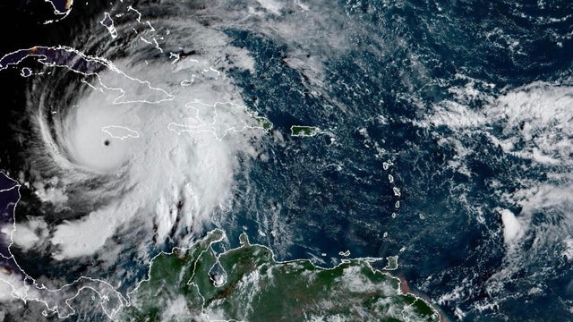
The 2026 Atlantic hurricane season is quickly approaching, and the National Oceanic and Atmospheric Administration is releasing its forecast for what to expect.
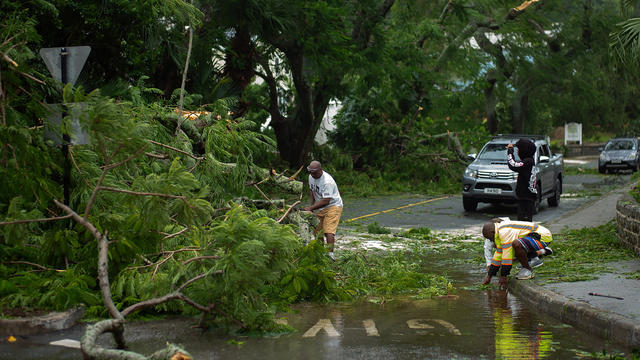
Ernesto regained hurricane strength on Sunday, forecasters said, and will continue to bring "life-threatening surf and rip current conditions" to the U.S. East Coast.
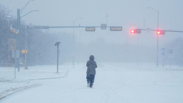
Temperatures across the United States have plummeted as an Arctic freeze from Canada exacerbates a widespread bout of dangerous winter storm weather. Here's how the frigid cold is affecting different regions.
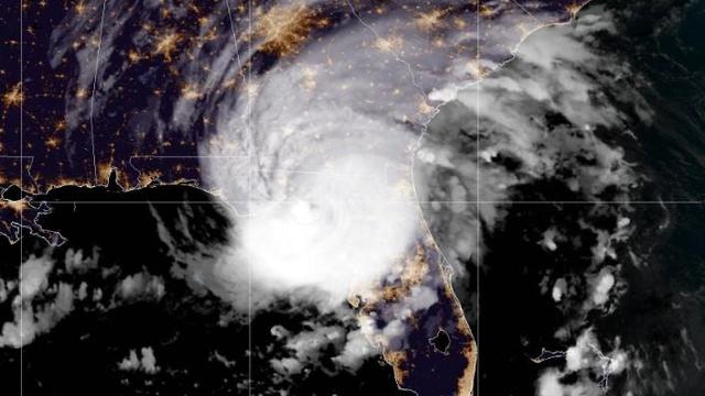
Idalia made landfall as a Category 3 hurricane over the Big Bend region of Florida, before continuing along its path toward Georgia and the Carolinas.
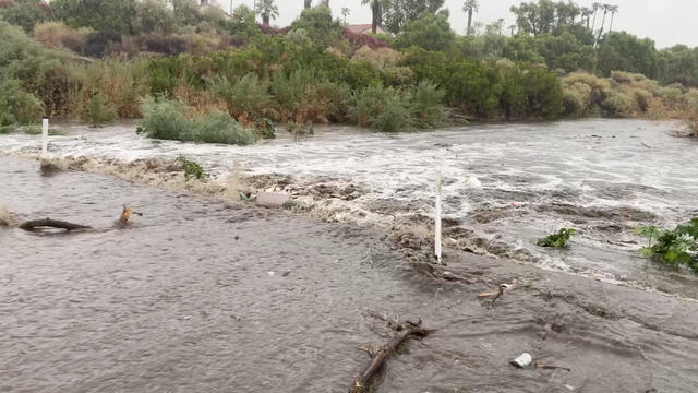
Hilary dropped more than half an average year's worth of rain on some areas, including Palm Springs, which saw nearly 3.18 inches of rain by Sunday evening.
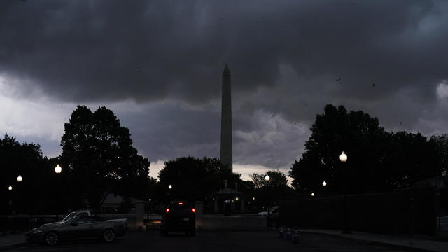
More than 1 million are without power as the East Coast is facing a forecast of severe thunderstorms, damaging winds, large hail and tornadoes.
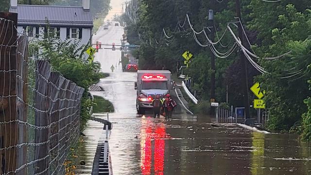
Across the Northeastern U.S., forecasters warned of potential flash floods and tornadoes on Sunday linked to the latest bout of severe weather.
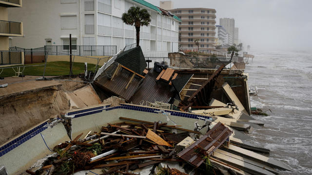
Two people died after being electrocuted by a downed power line at an intersection, a sheriff's office said.
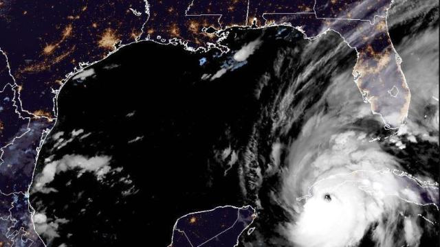
The powerful storm hit western Cuba early Tuesday, and is expected to strengthen even more before dealing a blow to Florida's west coast.
The National Weather Service Prediction Center in College Park, Maryland, said Monday 107.5 million people will be affected by combination of heat advisories, excessive heat warnings and excessive heat watches through Wednesday.

The First Alert Weather Team has declared Thursday an Alert Day due to the potential for severe weather this afternoon.
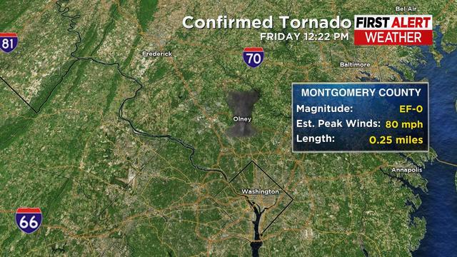
The National Weather Service confirms two tornadoes touched down as part of the storm system that swept across Maryland on Friday.
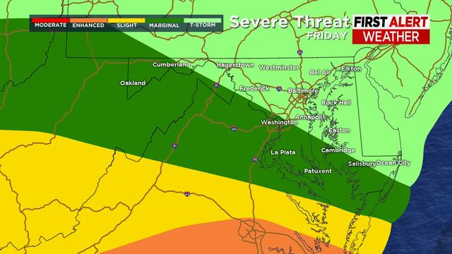
The WJZ First Alert Weather Team has declared today an Alert day in anticipation of severe storms, including heavy rain, strong winds and the potential for flooding.
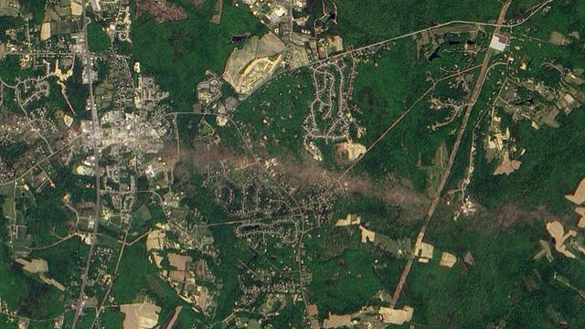
On this day 20 years ago, one of the most powerful tornadoes to ever hit the Mid-Atlantic carved a 64-mile path across southern Maryland.

Allegany, Baltimore, Carroll, Cecil, Frederick, Garrett, Harford, Howard and Washington counties, as well as Baltimore City, could see rain and heavy wind gusts.
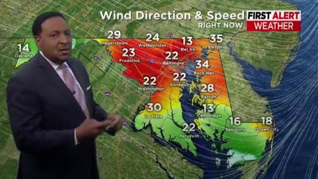
A Wind Advisory is in effect for much of central Maryland until 10 a.m. Friday, and until noon on parts of the Eastern Shore.
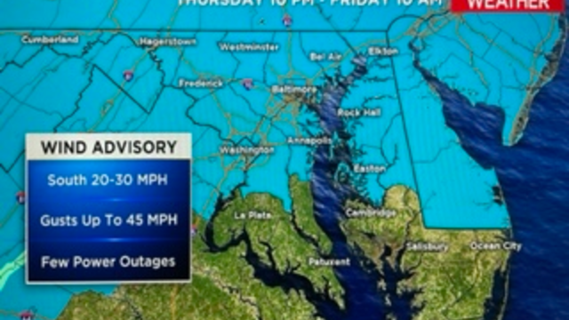
The National Weather Service has issued a Wind Advisory for most of Maryland on Thursday night and Friday morning.
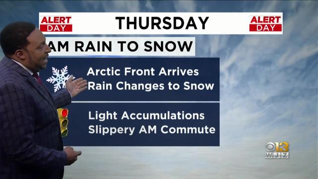
A Winter Weather Advisory will be in effect for much of the Baltimore-Washington region from Thursday morning through the afternoon hours.

With heavy snowfall possible, the National Weather Service has issued a Winter Storm Watch for parts of western Maryland from Sunday afternoon through Monday morning.

The National Weather Service on Wednesday issued a Winter Weather Advisory for the Baltimore-Washington Region and Western Maryland from Thursday evening to Friday morning.

Maryland is mobilizing resources in preparation for a winter storm that could impact the state's roads and infrastructure, Gov. Larry Hogan announced Sunday.
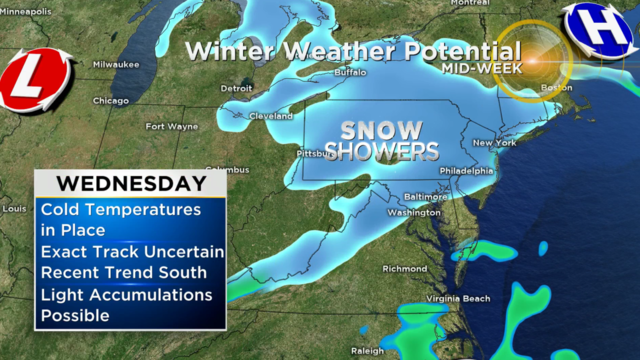
A strong cold front will pass through Maryland on Monday, ushering in significantly colder air for the Mid-Atlantic region.

Sub-freezing temperatures as low as 31 degrees are expected and temperatures as low as 32 degrees can result in frost and could kill sensitive outdoor vegetation.
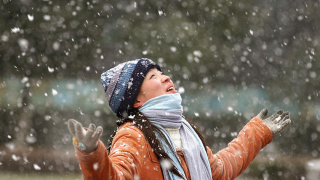
The first snowfall of the season could hit Western Maryland on Tuesday, the National Weather Service said.