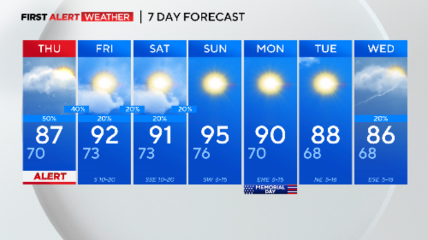
North Texas remains under a Weather Alert overnight and Thursday

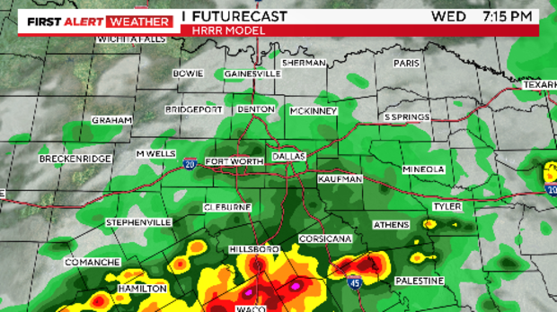
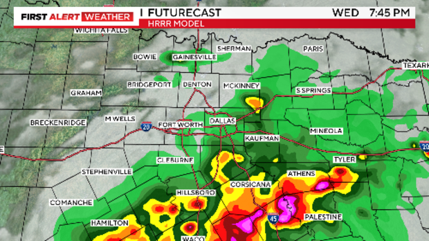
NORTH TEXAS — The severe weather threat continues Wednesday night with the potential for isolated strong to severe storms.
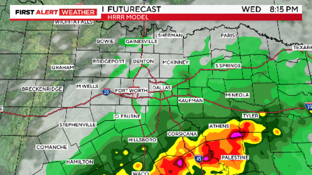
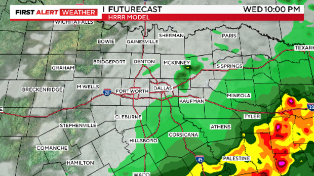
A stationary front remains draped across North Texas Wednesday night and we are seeing rounds of storms developing along and south of the boundary.
Click here to view the 100-mile radius radar for the DFW metroplex
The Weather Alert remains in place overnight and then again on Thursday.
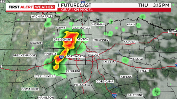
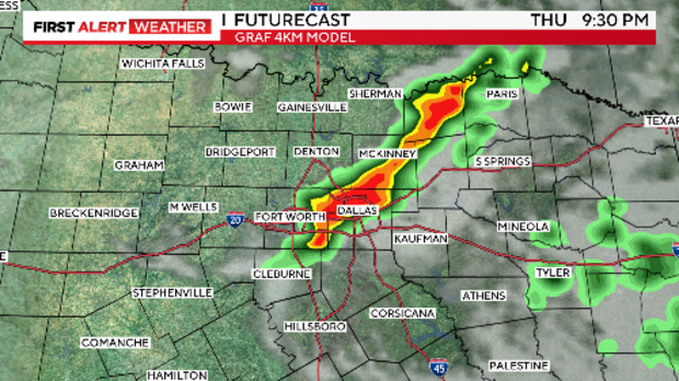
The front lifts north and we see the potential of strong to severe storms in the afternoon hours. However, the question remains if the atmosphere can recover enough from the storms Wednesday for the initialization of storms Thursday.
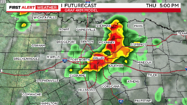
Large hail, damaging winds and flooding are the main threats.
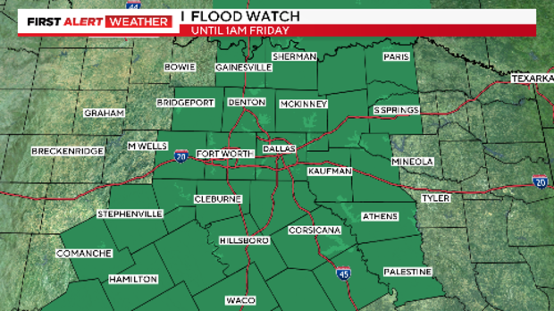
A Flood Watch for most of North Texas remains in effect until 1 a.m. Friday so any heavy rain will run off quickly leading to flash flooding.
After that we see temps heat up and the humidity sticks around.
Temps for the holiday weekend are in the 90s but could feel like the triple digits each day.
A dry front moves through Sunday to Monday so Memorial Day should feel slightly better.