Chances of heavy rain, pop-up storms and flash flooding continue across North Texas


North Texas will see scattered storms Tuesday afternoon/evening and widespread thunderstorms Tuesday night with locally heavy rain and a localized flooding threat. A few storms could be strong with gusty winds and small hail, but flooding is the bigger concern.
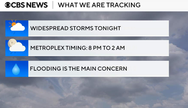
Locally, expect heavy rainfall, frequent lightning, gusty winds and small hail. A few storms could briefly become strong to marginally severe, but the more widespread concern is heavy rain, especially where storms repeat over areas that have already seen recent rainfall.
A strong thunderstorm will impact portions of southwestern Van Zandt County through 3:45 p.m. This storm is capable of 50 mph wind gusts and small hail.
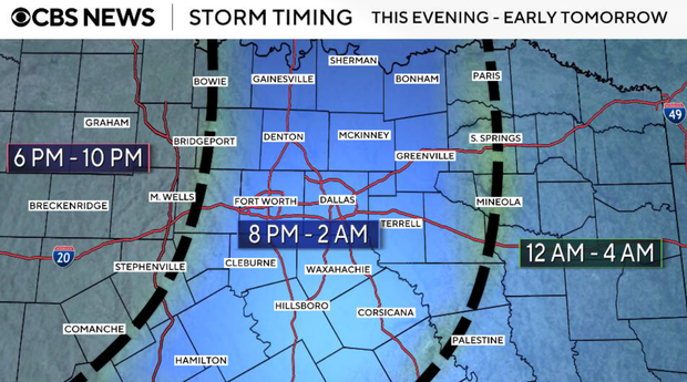
Tuesday afternoon and evening
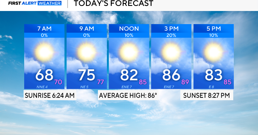
Warm, humid, with isolated pop-up showers or thunderstorms during peak heating, coverage should remain relatively low, and activity should stay disorganized. Highs climb into the upper 80s to near 90.
Tuesday overnight
Storm coverage increases significantly. Thunderstorms organize west of North Texas Tuesday evening, then push east overnight. Western counties could see storms as early as early evening, with the metroplex most likely late evening into overnight. The severe threat remains limited because wind shear is fairly weak, but a few storms could still produce gusty winds and small hail. The bigger concern is heavy rainfall. Moisture levels remain high, storms will be efficient rain producers, and some locations could see repeated rounds.
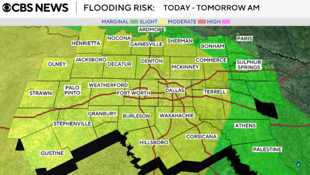
Weather outlook for the rest of the week
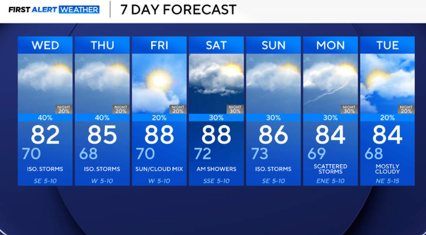
Not an all-day washout on Wednesday, but rain chances remain in the forecast. After the overnight round, we may see a relative lull on Wednesday morning before additional showers and thunderstorms redevelop, especially along and east of I-35. Heavy rain remains the main concern, with localized flooding possible. Highs mostly in the low to mid 80s.
Rain chances continue on Thursday, especially east of I-35, though coverage should gradually trend lower west of the metroplex. Still watching for additional localized flooding where heavier rain repeats.
Friday will be a somewhat quieter day with lower storm coverage, though eastern areas may still see scattered activity. Warmer temperatures return with highs back into the upper 80s to near 90.
This weekend, rain and storm chances increase again as another disturbance approaches. Timing and exact coverage remain less certain this far out, but intermittent rounds of showers and storms look likely Saturday through Monday. Any areas that pick up heavier rain this week will need to be watched closely for renewed flooding concerns.