Storm Expected to Bring Rain to Bay Area Saturday Night Through Sunday
Rain is expected throughout the day Sunday before tapering off Monday morning and ending Monday afternoon.
Watch CBS News
Rain is expected throughout the day Sunday before tapering off Monday morning and ending Monday afternoon.
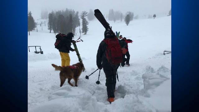
An early winter Sierra storm that dumped more than 2 feet of snow in the mountains and heavy rain in the valleys triggered power outages and school delays at Lake Tahoe.

A slow moving storm front rolled through Northern California early Thursday, dumping as much as two inches of rain in the wildfire scarred wine country and creating chaos for the Bay Area morning commute.

Visitors to beaches in the San Francisco and Monterey bay areas are urged to stay back from and going into the ocean Friday afternoon until Sunday evening.
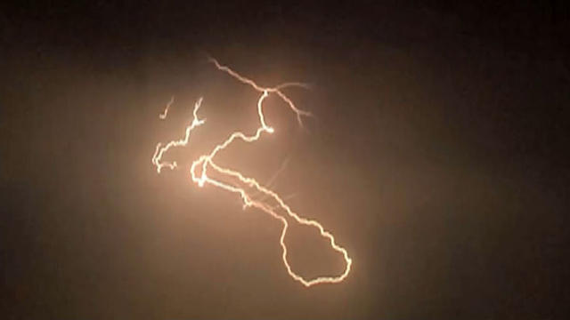
A monsoonal weather front spun into Northern California from Arizona and Southern California early Friday, bringing with it spectacular thunder and lightning strikes in the Bay Area and a rarely seen 'heat burst' at midnight in Vacaville.
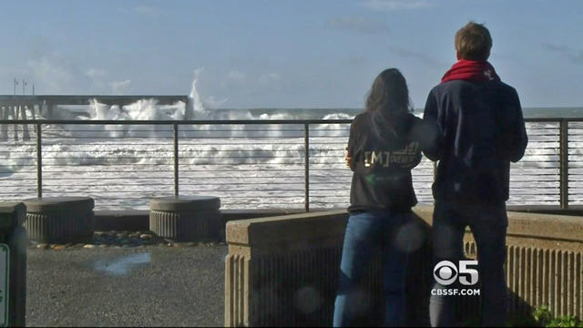
A southerly swell caused by tropical storms will create hazardous beach conditions in parts of the Bay Area late Sunday night through Monday night.

A heat advisory was issued Saturday for the Bay Area and a fire warning for the East Bay hills is in effect through 9 p.m.
The advisory is in effect until 2 p.m. for the coastline from northern Sonoma County to southern Monterey County and the Big Sur coast.

Forecasters said Sunday they expect the Merced River in Yosemite National Park to go about a foot over its banks.
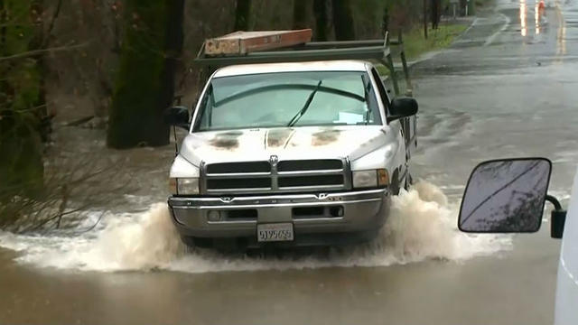
When it comes to rain, the forecasters at the National Weather Service go by their own calendar. And this year that calendar is setting all kinds of new records.

Meteorologist Duane Dykema says swimmers should be aware of dangerous surf conditions.
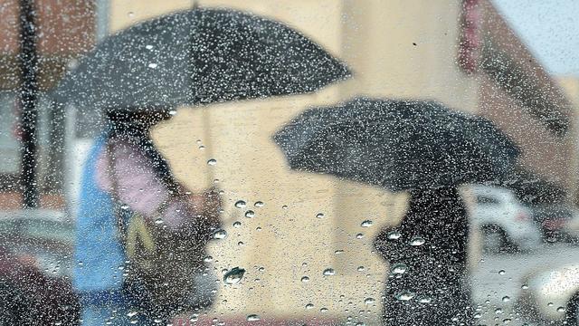
Following several major storms to start the year, January 2017 in the Bay Area will go down among the 10 wettest since recordkeeping began in 1849.
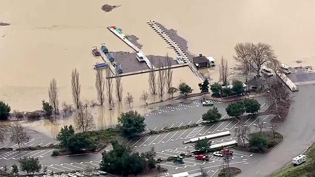
A third winter storm front ripped though water-logged Bay Area communities early Sunday, triggering widespread flooding from Sonoma to the Santa Cruz Mountains.

The National Weather Service has issued a High Surf Warning for parts of the Bay Area in effect until 3 a.m. Sunday.

"Move to higher ground!" announced the National Weather Service after issuing a flash flood warning in parts of Sonoma County.

The storm turned deadly Saturday when a middle-age woman was struck and killed by a falling tree at Canyon Lakes Golf Course in San Ramon.
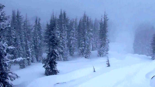
With snowfall being predicted in feet instead of inches this week for the Sierra, the National Weather Service Tuesday issued an avalanche warning for the Lake Tahoe area.

The National Weather Service issued a winter storm warning Monday for the Sierra's eastern front north of Reno in effect until 4 p.m. Wednesday.
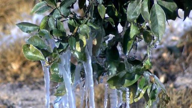
A freeze warning goes into effect at midnight and temperatures are expected in the upper 20s to low 30s.
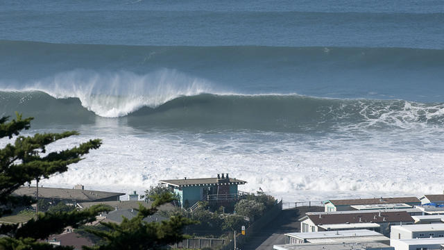
Hazards at many San Francisco Bay and Monterey Bay area beaches will be present through Wednesday evening because of a strong North Pacific storm, National Weather Service officials said.

Forecasters say waves as high as 20 feet are expected to crash onto many Northern California coastal areas on Wednesday.

Frost and freeze warnings were in effect for the second night in a row in the Bay Area, with temperatures expected to plummet into the 20s in the coldest locations.
Some parts of the North Bay and southern areas of the Santa Clara Valley might drop into the 20s.
Officials forecast as much as 0.82 inches of rain in Sonoma County and 0.65 inches in Santa Cruz County by 5 a.m. Sunday.

Expected hot weather has prompted the National Weather Service to issue a heat advisory for the Bay Area early next week.