Snow That Stalled Sierra Traffic Could Return Saturday Afternoon
By Friday night, about 13 inches of snow had fallen at Kingvale and forecasters said more snow may arrive Saturday afternoon.
Watch CBS News
By Friday night, about 13 inches of snow had fallen at Kingvale and forecasters said more snow may arrive Saturday afternoon.
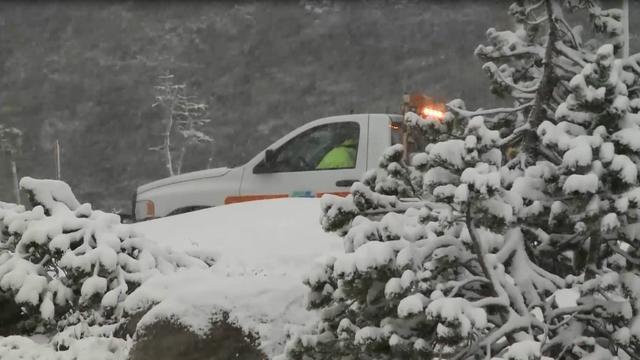
Friday's system could impact travel through Donner and Carson passes and near Lassen National Park. Snow should taper off by late evening.

For the first time in almost a year, Lake Tahoe is over its natural rim.

In the age of social media writing in all caps is considered yelling, so next month federal meteorologists are lowering their voices and their letters -- except in dire emergencies.
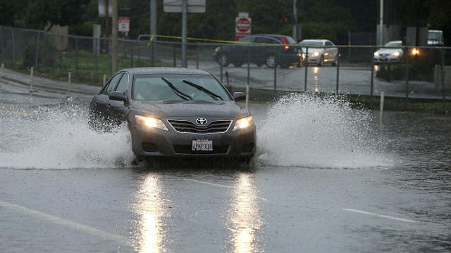
The National Weather Service has issued a flash flood warning for Alameda, Sonoma, Napa, Santa Cruz and other counties in Northern California.

Lake Tahoe has risen to within about 9 inches of its natural rim, but that's still far short of the average this time of year.

The National Weather Service has issued a high surf warning for coastal areas of San Francisco.
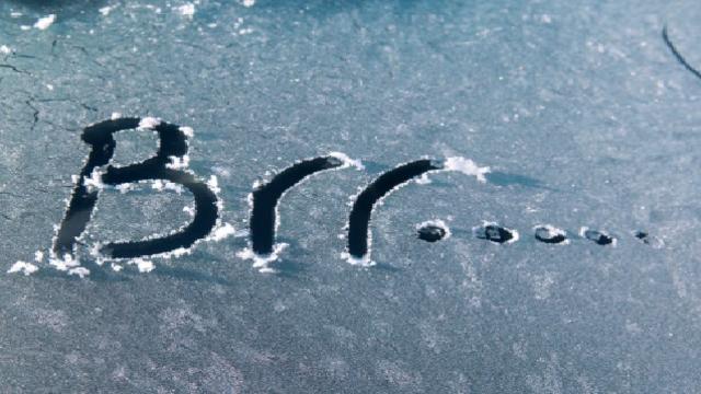
The National Weather Service has issued a freeze warning for parts of the Bay Area. Overnight and early morning temperatures will range from the mid-20s to the lower 30s.

The NWS warns a winter storm could wreak havoc on holiday travelers by shutting down the main artery connecting Northern and Southern California on Christmas Eve.

The amount of rain in the Bay Area during the last half of 2015 is less than in previous El Niño years, National Weather Service officials said Saturday.
A freeze warning will go into effect at 11 p.m. Saturday night for inland valleys and mountains of the Bay Area. People and animals outside may suffer.

The National Weather Service on Friday warned that Bay Area beaches could see strong rip currents this weekend, making the waters riskier than usual for swimmers.

A red flag warning for high fire danger went into affect at 6 p.m. Saturday evening and lasts until 10 a.m. Sunday.

A heat advisory is in effect until 9 p.m. Sunday night throughout most of the Bay Area and Monterey Bay Area, according to the National Weather Service.

Brown grass, low reservoirs and worsening wildfires are undeniable signs of California's worsening drought. Now new rainfall comparisons highlight just how thirsty the Golden State is, but rising ocean temperatures are giving climate experts hope for a wet winter.
The National Weather Service confirms a strong El Nino is increasingly likely, and some sort of El Nino is nearly guaranteed, while a very strong El Nino historically has clobbered San Francisco with 43 inches of rain.
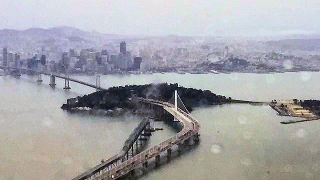
It's not even going to amount to a free car wash, but that won't stop the drought-plagued Bay Area from celebrating the rare June precipitation we saw Wednesday morning.

The National Weather Service is reminding the public to drink water and avoid leaving children and pets in parked cars due to a heat advisory that's been issued for Monday afternoon.
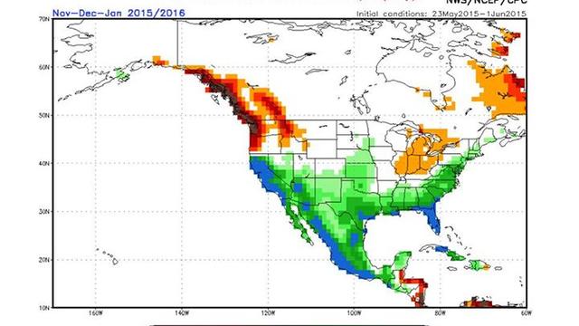
There is hope for a wet winter in California if the rainfall predictions on long-range computer models prove accurate.

It could be a stormy Memorial Day holiday, if your travels take you to Lake Tahoe, Yosemite or the High Sierra this weekend.

There's a strong chance the rain that's drenching Texas and the Southern Plains will be heading to California if the current El Nino pattern continues to strengthen.

A KPIX Weather Watcher spotted a funnel cloud from Sebastopol Thursday morning.
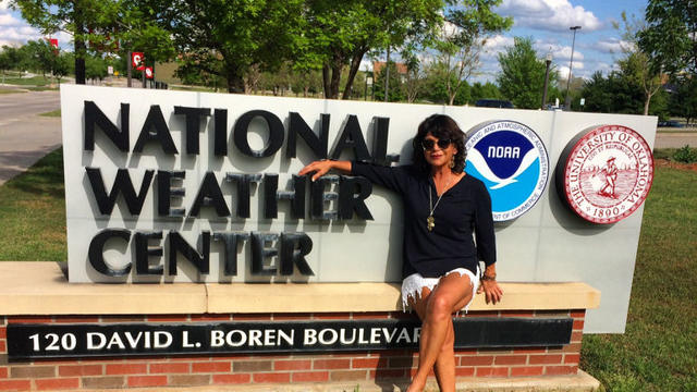
Great question! While my main purpose was to visit my son at the University of Oklahoma, I did indeed visit the National Weather Center which is located on the university's campus.
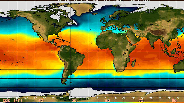
If 2015 was the year El Nino conditions never came, 2016 may be the year California's long-awaited wet weather pattern finally arrives.

The National Weather Service tweeted pictures of funnel clouds over South Sacramento, Tuesday afternoon.