NYC weather this weekend includes storms and possible isolated flooding after a drier Friday

It's gearing up to be a wet and stormy weekend in New York. Thunderstorms and isolated flooding are expected to sweep through the Tri-State Area beginning Saturday night into Sunday morning.
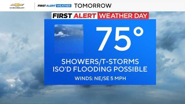
The good news is that the weather is expected to be relatively mild on Friday, with some sporadic showers, clouds and temperatures in the high 70s. It's a good day to have lunch outside before things cool down as we head into the evening. Temperatures will be mild in the city in the mid-60s, but will be chillier the further north and west you head into the state.
It'll be a nice but brief break from the thunderstorms and confirmed tornado sighting on Thursday in Nassau County.
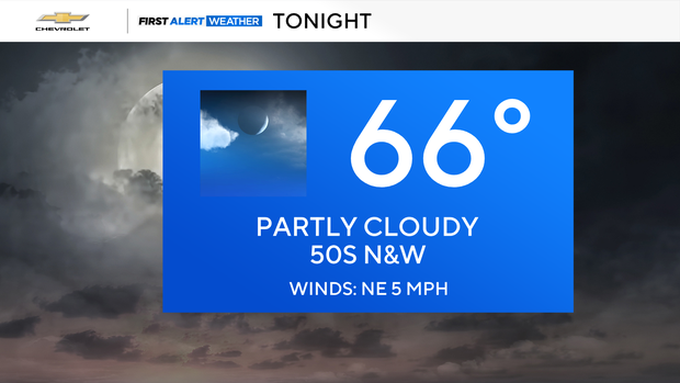
Now, onto Saturday, which the First Alert Weather Team has declared a First Alert Weather Day. This may change as the rainfall amounts become clearer.
The good news is that you shouldn't have to worry about canceling any outdoor plans during the day on Saturday, especially with the gorgeous temperatures in the mid 70s. Now there will be some sporadic rain during the day, but it won't be anything too severe.
The real threat of storms begins Saturday evening and continues into the early morning hours on Sunday. High winds could blow some branches and leaves around.
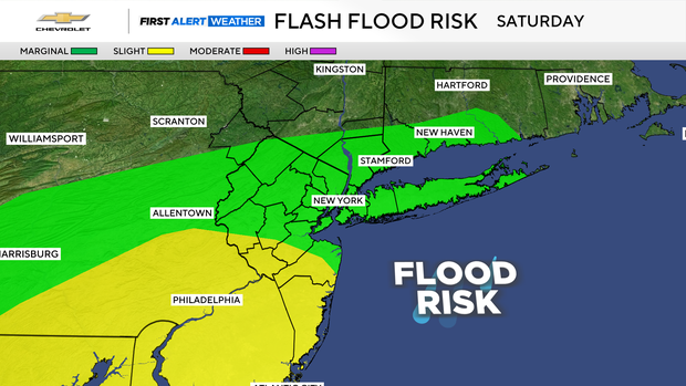
Manhattan, Long Island, along with parts of the Connecticut and New Jersey coastlines, have a marginal risk for flash flooding. Southern New Jersey has a slightly higher risk than other areas.
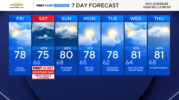
Heading into next week, expect some gorgeous weather starting on Monday. Temperatures will be in the high 70s, and it's looking to be a sunny summer day. Tuesday and Wednesday are also shaping up to be beautiful with more sunshine in the forecast.
Your Wednesday dinner plans outside may be in jeopardy with the possibility of nighttime rain that could continue into Thursday morning.


